GPS Overview
205
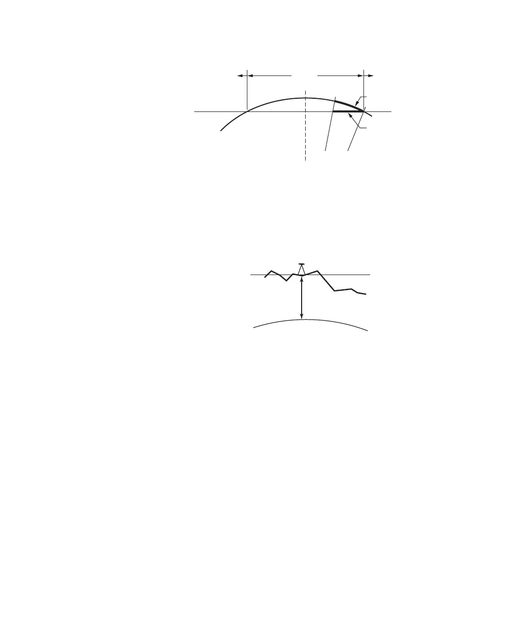
Fig. 3: Transverse Mercator Mapping Plane
A side view of the cylinder shows the effect of scale
distortion.
E
l
l
i
p
s
o
i
d
Mapping Plane
K=0.9996
K=1.0 K=1.0
Central Meridian
K>1.0
K>1.0
K<1.0
Distance on Ellipsoid
Distance on Map
Ellipsoid
Terrain
h
Mapping
Plane
• TDS Localization Stereographic Projection
The scale factor at the start location (usually the first GPS base
station in a project) is calculated for ground distances at the base
height. The scale factor increases more or less uniformly in all
directions as you move away from the base. The scale factor does not
change appreciable within the range of RTK GPS, so this map
projection is an excellent way to model simple flat earth ground level
coordinate systems.
Fig. 4: Localization Stereographic Mapping Plane
A side view of the ellipsoid and stereographic mapping
plane show the scale calculated for ground distances at
the base hei
ht.