Product Description
CHCNAV ALPHAAIR-450 USER MANUAL | 2021-10 P a g e | 8
3.3 Product Introduction
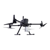
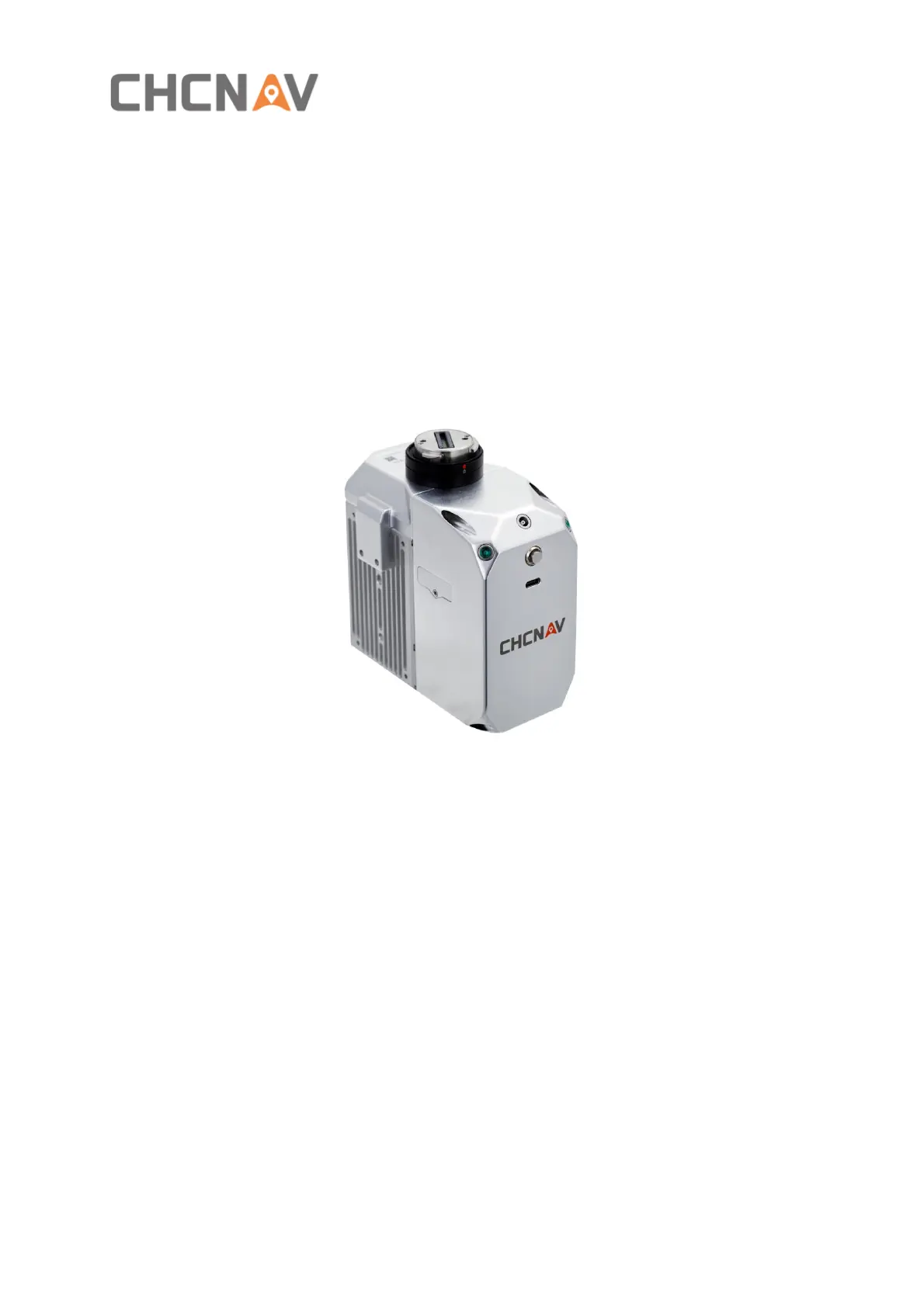
AlphaAir 450 pocket lidar measurement system, the whole device is based on the lightweight
and high integration design concept, carried on the BB4 or 3rd party UAV like DJI M300, can
obtain longer endurance. As an emerging means of 3D data acquisition, it can quickly acquire
terrain surface data, ground feature, power line information, etc., which can realize high-
precision 3D terrain data and high-density 3D data acquisition of transmission lines. In addition,
based on the image acquisition by the built-in camera, DOM, DSM, true color point cloud and
other results can be generated, and road sections, power lines, vegetation and other results
can be automatically extracted for analysis, and the inspection report can be output.
The product is shown below:
CHCNAV AA450 unit