Terrain maps
C-Pilot EVO can show terrain maps to provide a visual representation of the terrain around you or to
help planning a task.
Maps of the entire globe are made available thanks to the Consortium for Spatial Information
(CGIAR-CSI). You can download them from their website:
http://srtm.csi.cgiar.org/SELECTION/inputCoord.asp
Maps must be loaded only into the SD card’s memory and not copied into the USB internal
memory of C-Pilot EVO. C-Pilot EVO uses only SRTM files TIF version (not google maps!) It’s
very simple to load one or more maps, just follow these steps:
1) find the maps in the web at http://srtm.csi.cgiar.org/SELECTION/inputCoord.asp;
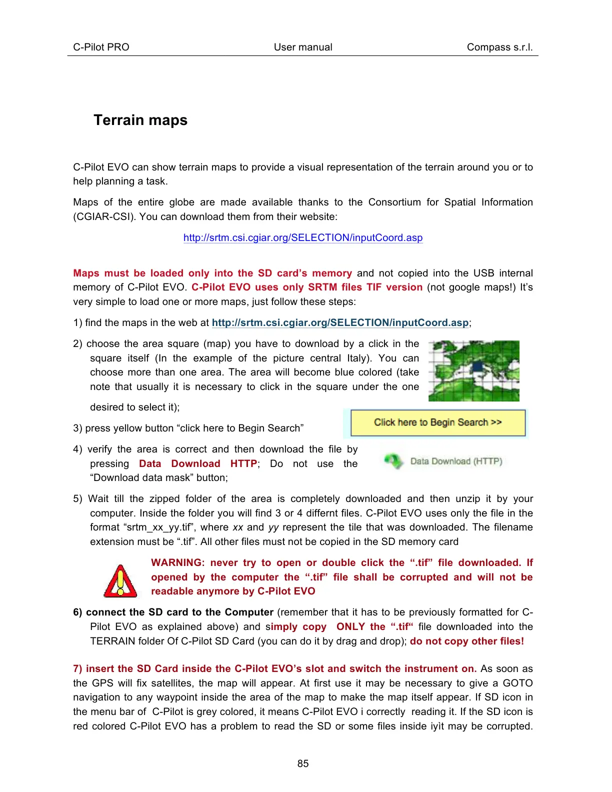
2) choose the area square (map) you have to download by a click in the
square itself (In the example of the picture central Italy). You can
choose more than one area. The area will become blue colored (take
note that usually it is necessary to click in the square under the one
desired to select it);
3) press yellow button “click here to Begin Search”
4) verify the area is correct and then download the file by
pressing Data Download HTTP; Do not use the
“Download data mask” button;
5) Wait till the zipped folder of the area is completely downloaded and then unzip it by your
computer. Inside the folder you will find 3 or 4 differnt files. C-Pilot EVO uses only the file in the
format “srtm_xx_yy.tif”, where xx and yy represent the tile that was downloaded. The filename
extension must be “.tif”. All other files must not be copied in the SD memory card
WARNING: never try to open or double click the “.tif” file downloaded. If
opened by the computer the “.tif” file shall be corrupted and will not be
readable anymore by C-Pilot EVO
6) connect the SD card to the Computer (remember that it has to be previously formatted for C-
Pilot EVO as explained above) and simply copy ONLY the “.tif“ file downloaded into the
TERRAIN folder Of C-Pilot SD Card (you can do it by drag and drop); do not copy other files!
7) insert the SD Card inside the C-Pilot EVO’s slot and switch the instrument on. As soon as
the GPS will fix satellites, the map will appear. At first use it may be necessary to give a GOTO
navigation to any waypoint inside the area of the map to make the map itself appear. If SD icon in
the menu bar of C-Pilot is grey colored, it means C-Pilot EVO i correctly reading it. If the SD icon is
red colored C-Pilot EVO has a problem to read the SD or some files inside iyìt may be corrupted.