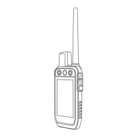
Simulating a Location
1 Select Satellite > > Satellite Setup > Satellite System > Demo Mode.
2 Select > > Set Location On Map.
3 Select a location.
4 Select Use.
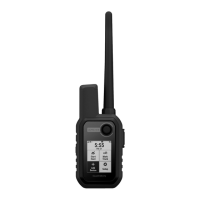
Managing Maps
1 From the main menu, select > Map Manager.
2 Select an option:
• To download premium maps and activate your Outdoor Maps+ subscription for this device, select
Outdoor Maps+ (Downloading Maps, page35).
• To download TopoActive maps, select TopoActive Maps.
Downloading Maps
Before you can download maps to your device, you must connect to a wireless network (Connecting to a
Wireless Network, page24).
1 Select Map Manager > Outdoor Maps+.
NOTE: You may need to add this application to the main menu before you can select it.
2 Select an option:
• To download free satellite map data without a subscription, select Add Satellite Imagery.
• To download premium maps and activate your Outdoor Maps+ subscription for this device, select Check
Subscription.
NOTE: Go to garmin.com/outdoormaps for information about purchasing a subscription.
3 Select > Layer Information to view details about the map layers (optional).
4 Select Add.
5 From the map, complete one or more actions:
• Drag the map to view different areas.
• Pinch or spread two fingers on the touchscreen to zoom in and out of the map.
• Select and to zoom in and out of the map.
• Double-tap the map to quickly zoom in.
6 Select the information bar at the top of the screen.
7 Select Name to edit the name of the map download.
8 Select Storage Location to change where you want to download and store the map.
9 Select a toggle switch to enable or disable map layers.
An estimated download size appears for the map. You should verify your device has enough available
storage space for the map.
TIP: You can tap the name of a map layer for more information about the map data.
10 Select > Download.
Enabling Maps
You can enable map products installed on your device.
1 Select Map Manager > Outdoor Maps+ > > Configure Maps.
2 Select the toggle switch to enable each installed map.
3 Select the map name to change the raster brightness level (optional).
Applications 35