Do you have a question about the Garmin GNS 430 and is the answer not in the manual?
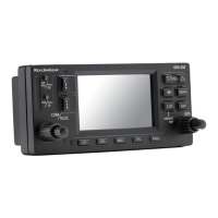
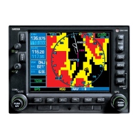
Covers power, audio signal, and radio tuning knobs for navigation and communication.
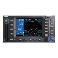
Explains CDI, OBS, MSG, FPL, PROC keys for navigation and system functions.
Details keys for data entry, map panning, clearing, and direct-to navigation.
Covers MENU key for options and RNG key for map range selection.
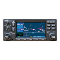
Explains COM and VLOC flip-flop keys for swapping active/standby frequencies.
Process for automatically selecting communication frequencies from a database.
Steps to manually tune and select communication frequencies.
Introduces the NAV page group and its selection method.
Details the default NAV page display and customizable data fields.
Covers map display, range selection, orientation, and panning.
Controls for moving the map and selecting displayed NAVAIDS.
Options for full-screen map display and selecting on-screen data fields.
Describes the Terrain and NAV/COM pages within the NAV group.
Displays position, track, speed, time, and configurable data fields.
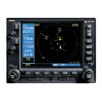
Displays target altitude, position, and required vertical speed.
Instructions for accessing and navigating within the WPT page group.
How to find and input waypoint identifiers for searches.
Displays airport identifier, location, elevation, and fuels.
Shows runway designations, length, width, and surface information.
Lists radio frequencies and types for a selected airport.
Details available approach procedures and transitions for an airport.
Displays intersection details like coordinates and nearest VOR data.
Shows NDB facility name, location, frequency, and weather broadcast.
Displays VOR facility name, location, magnetic variation, and frequency.
Instructions for accessing and browsing nearest airport, VOR, NDB lists.
Using NRST pages with direct-to function for quick navigation.
Lists nearest airports, bearing, distance, approach, and CTAF.
Lists nearest intersections, bearing, distance, and identifier.
Details nearest NDBs and VORs with their frequencies and distances.
Alerts about controlled or special use airspaces near the flight path.
Instructions for accessing various auxiliary function pages.
Accesses functions for fuel, density altitude, and airspeed calculations.
Information on FOB, FLOW, REQ, LFOB, LRES, EFF, RNG, ENDUR.
Computes true airspeed, winds aloft, and density altitude.
Accesses utility functions like checklists and flight timers.
Steps to choose a waypoint and initiate direct-to navigation.
Methods to bypass standard input for direct-to destination selection.
Accessing menu options for the active flight plan.
Steps to choose and load procedures for navigation.
Procedure for activating a selected airport approach.
Activating an approach that includes vectors to the final course.