3
1
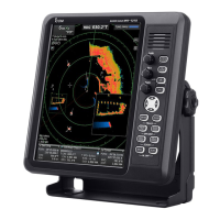
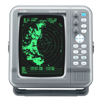
PANEL DESCRIPTION
@1 TUNING MODE INDICATOR (p. 9)
“M.TUNE” appears when the manual tuning func-
tion is in use.
@2 FIXED RING RANGE READOUT (p. 14)
Shows the interval range of the fixed ring.
• This readout appears when “RING” in the FUNCTION
menu is turned ON.
@3 SCREEN RANGE READOUT (p. 14)
Shows the maximum range of the displayed screen.
• The range indicated is nautical miles (NM).
@4 SHIP SPEED READOUT (p. 13)
Shows the ship speed.
• SOG: When GPS is selected in the INT. SETTING
menu.
• STW: When LOG is selected in the INT. SETTING
menu.
@5 AUTO SEA INDICATOR (p. 10)
Appears when the automatic SEA control function
is turned ON.
@6 LONG PULSE INDICATOR (p. 13)
Appears when the long pulse is in use.
@7 RAIN CONTROL INDICATOR (p. 10)
Appears when the RAIN function is in use.
@8 MODE INDICATOR
Head-up, Course-up, North-up and True Motion
screens are available.
• N UP and C UP screens require external bearing data.
• TM screen requires bearing data and LOG or position
data.
@9 HEADING LINE (p. 9)
The heading line indicates the ships bow direction.
#0 ALARM ZONE (p. 17)
Shows the alarm zone.
• Appears when the alarm function is in use.
#1 WAYPOINT MARKER (p. 13)
Shows the waypoint received from navigation equip-
ment.
• This marker appears when “WPT” in the FUNCTION
menu is turned ON.
• To display the waypoint marker, bearing data and
NMEA data in 0183 format is necessary. (p. 43)
#2 FIXED RANGE RINGS (p. 14)
Shows the distance at fixed intervals. The interval
distance is indicated by the ring range readout (@3).
• These rings appear when “RING” in the FUNCTION
menu is turned ON.
#3 AIS INDICATOR (p. 14)
Appears when a valid VDM sentence is input from
the NMEA (AIS) port. If more than the specified AIS
signals that is set in the “NUMBER OF AIS” setting
of the ATA AIS menu are received, this indicator
changes to a reverse display (
).
The indicator disappears if the AIS signal is inter-
rupted for 6 minutes.
#4 GPS INDICATOR (p. 28)
Indicator appears when the NMEA (GPS) is con-
nected.
:
:
:
:
(0.25)
MTUNE
TVECT
6M
0649NM
NM
CURS
STW
15 7
KT
H UP
0174
˚
R
TRAILS
253 0
˚T
HDG
IR
EBL1
EBL2
WPT
VRM1
VRM2
CURS
1076
˚
0219
˚
2834
˚
0422
NM
001
000
001
0242
NM
0632
NM
34
˚
39720N
135
˚
34420E
ZOOM
ALM
COMPASS
GPS
AIS
ES
005
3/4
#9
@1
@2
@3
@4
@5
@6
@7
@8
@9
#0
#1
#2
#3
#5
#4
#6
#7
#8
$0
$1
$2
$3
$4
$5
$6
$7
$8
$9
%0
%1
%2
%3
%4
%5
%6
%7
%8
%9
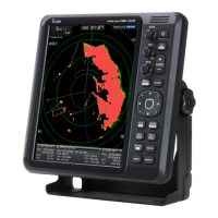
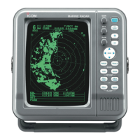
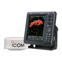
■ Screen

 Loading...