91
GPS NMEA Interfacing
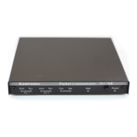
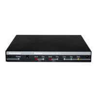
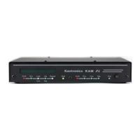
Most Kantronics‘ TNCs, e.g. KPC-3 Plus, KPC-9612 Plus, KAM XL, and others, support
the GPS mode, explained below. Each contains firmware to interface with a GPS device
supporting the NMEA 0183 interface standard; commands to configure and control
unproto (path) retransmissions of the NMEA strings, and provides RAM storage for
location messages (strings) for later retrieval.
Among Kantronics‘ TNCs supporting GPS, the only difference between devices is
the number of radio ports available for transmission of data. For example, the KPC-3
Plus is a single port device and the KPC 9612 Plus is a multi-port device.
Overview
The Global Positioning System (GPS) was developed initially for military use by the U.S.
Department of Defense, to provide worldwide positioning and navigational information
for U.S. military forces. Since then, a broad range of commercial, civilian, and amateur
radio applications have been developed, based on the GPS. The GPS consists of 24
satellites, each of which transmits positioning information continuously. GPS receiving
units - devices that contain a receiver, LCD screen, and (usually) a data port - collect
this positional information and use it to compute position. This information can then be
retransmitted by any means possible to report the position of the GPS unit (and its
vehicle).
Most GPS units sold today are NMEA compatible. That means that not only can they
display latitude, longitude, and time on a LCD screen, but the information can be
presented to your computer or TNC via the GPS unit‘s serial data port. The information
is presented in ASCII in the form of NMEA ―sentences‖. A number of these sentences
are available —with varying kinds of information, but the one used most often for
amateur radio activities is ―$GPGGA‖. This sentence contains latitude, longitude,
altitude, and time (in UTC, derived from the satellite clocks). The TNC, in GPS Mode,
can receive and retransmit this information as beacons and/or store these sentences in
a large tracking buffer for later retrieval. The TNC, in GPS Mode, also updates its clock
to UTC, derived from the satellites. Hence, the location of your remote packet station,
recorded at a specific time, can be tracked by other packet stations.
Amateurs the world over have discovered GPS and are combining this exciting new
technology with packet radio for reporting the position of their vehicles, following balloon
launches, finding hidden transmitters, and determining location information for more
serious applications as well. A typical amateur location reporting system consists of
GPS-packet equipped vehicles and fixed-location packet repeaters. At a minimum, each
vehicle would carry a GPS receiver, a packet unit (TNC), and a transmitter. Each TNC,
in GPS mode, would be set to beacon location periodically. The fixed-location
digipeaters would relay the reporting stations‘ locations over a wide area. For more
details on setting up such a system, see the next section, on ―Advanced Digipeating.‖