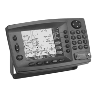
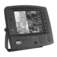
Northstar EXPLORER 550/550i Installation and Operation Manual
63
2-1 No GPS fix or long time to get fix at
startup:
a May occur occasionally if the antenna does
not have a clear view of the sky. The satellite
positions are constantly changing.
b Antenna cable not connected to display unit.
c Restart the GPS (see section 14-3).
2-2 EXPLORER GPS position different from
true position by more than 10 m (33 ft):
a EXPLORER in simulate mode. Turn simulate
mode off (see section 14-11).
b The normal error in GPS position will exceed
10 m (33 ft) for about 5% of the time.
c Under special circumstances the US
Department of Defence may introduce a
deliberate and changing error in the GPS
positions of up to 300 m (1000 ft).
2-3 EXPLORER position different from same
position on local charts:
a EXPLORER in simulate mode. Turn simulate
mode off (see section 14-11).
b Incorrect chart datum. Select the correct
chart datum (see section 14-2).
c Map shift has been applied wrongly. Clear map
shift, then reapply if necessary (see section 14-2).
2-4 Can not see boat on chart:
Press to switch to centre on boat
mode (see section 3-2-1).
2-5 The time or date on satellite display is
wrong or off:
a No GPS fix.
b In simulate mode. Turn simulate mode off
(see section 14-11).
c Local time offset is wrong (see section 14-10).
The Local Time Offset must be changed
when daylight saving time starts or ends.
2-6 Autopilot not responding to EXPLORER;
no NMEA output:
a NMEA output disabled or the required NMEA
sentences are not turned on. Check NMEA
settings (see section 14-9).
b Check that the instrument is connected
correctly.
2-7 No DGPS fix or loss of DGPS fix:
a To receive a DGPS fix, WAAS/EGNOS must be
enabled or an optional DGPS antenna fitted
(see section 7).
b With WAAS/EGNOS: Boat out of coverage
area (see section 7).
c With WAAS: GPS antenna does not have a
clear view of the horizon towards the equator.
b With beacon DGPS: boat out of range of a
DGPS beacon.
B-2 GPS navigation problems