

D
Darrell WilliamsAug 13, 2025
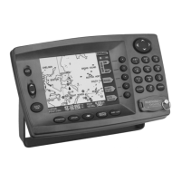
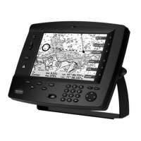
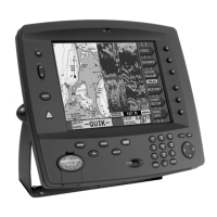
Why does my NorthStar 957 2201 lose satellite signals?
- RRichard JacksonAug 13, 2025
If satellite signals are frequently lost or the NorthStar 2201 GPS works in one direction but not the opposite, it might be partially shaded by metallic objects. Try re-positioning or raising the 2201 GPS to ensure a better view of the sky.