Do you have a question about the NorthStar EXPLORER 557 and is the answer not in the manual?
Explains DANGER, WARNING, CAUTION symbols and their meanings.
Describes GPS operation, accuracy, and user responsibility.
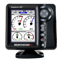
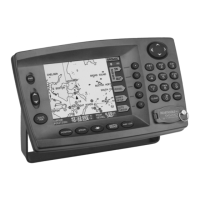
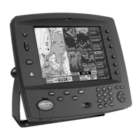
Identifies and describes each button on the unit.
How to select items, start commands, and change data values.
Using MOB function and cancelling it.
Managing multiple on-screen windows.
Customizing and managing favorite display configurations.
Navigating to points and following routes.
Key components shown on the chart.
Switching between chart modes.
Setting track intervals and storing track data.
Definition, icons, types, display options.
Procedures for creating waypoints from chart or window.
Methods for editing, deleting individual, or all waypoints.
Defining routes and their features.
Step-by-step route creation from chart or window.
Methods for editing route data.
Instructions for navigating along a route.
Choosing and modifying gauge displays.
Customizing displayed data and graphs.
What the fuel computer measures and displays.
Speed, RPM, remaining fuel, fuel used, flow.
Procedures for filling, partial filling, and removing fuel.
Setting alarm levels for fuel.
Process for creating performance curves.
Renaming, deleting, selecting, and using curves.
Steps for accurate sensor calibration.
Saving, loading, formatting, sorting data.
Chart icons, data boxes, vessel details.
CPA/TCPA triggers and alarms.
Overview of initial setup sections.
Language, backlight, power, about, SmartCraft, AIS, Buddy track.
Choosing GPS and DGPS signal sources.
Configuring fuel sensors, engines, and tanks.
Setting up various alarms and their parameters.
Initial configuration and operational check.
Unit not turning on/off, no display.
Issues with fuel data accuracy.
| Channels | 12 |
|---|---|
| SBAS | Yes |
| Display Type | LCD |
| Battery Life | Up to 18 hours |
| Waypoints | 500 |
| Routes | 20 |
| Type | Handheld |
| Waterproof | Yes |
| Dimensions | 2.2 x 4.5 x 1.3 inches |