- 137 -
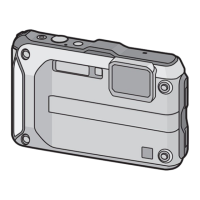
GPS/Sensor
The altimeter can be adjusted manually or using GPS.
To measure altitude with greater accuracy, we recommend that you perform [Adjust] regularly
by comparing a reference altitude on a sign or other accurate altitude information with the
altitude indicated by the unit.
1
Select [Altimeter] on the [GPS/Sensor] menu, and then press [MENU/
SET].
2
Press 3/4 to select [Adjust], and then press [MENU/SET].
3
Press 3/4 to select the settings, and then press [MENU/SET].
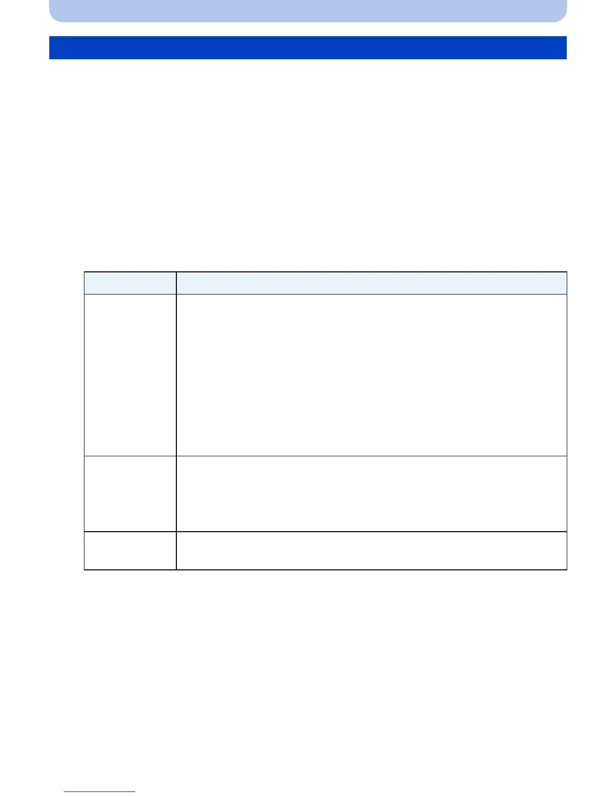
Adjusting the Altimeter
Settings Description of settings
[GPS]
Use the GPS information to adjust the altimeter.
• The [GPS Setting] turns [ON] automatically.
• The adjusted altitude may show errors of more than approximately d50 m
(164 feet) depending on the positions of the GPS satellites. When the
error is too large, we recommend that you select [ON] and make manual
adjustments.
• Even when GPS positioning is successful, the altitude can be affected by
satellite positioning and signal conditions. In this case, the altimeter will
not be adjusted.
• When [GPS Setting] is set to [OFF], [Adjust] is automatically set to [ON].
[ON]
Adjust the altitude manually.
Press 2/1 to select the items, and press 3/4 to set.
•
It can be adjusted to between j599 m (–1999 feet) and 8999 m
(29999 feet).
[OFF]
The adjusted altitude value is restored to the value which is before you
adjust.
 Loading...