SonTek, a Xylem brand
90 RiverSurveyor S5/M9 System Manual (February 2013)
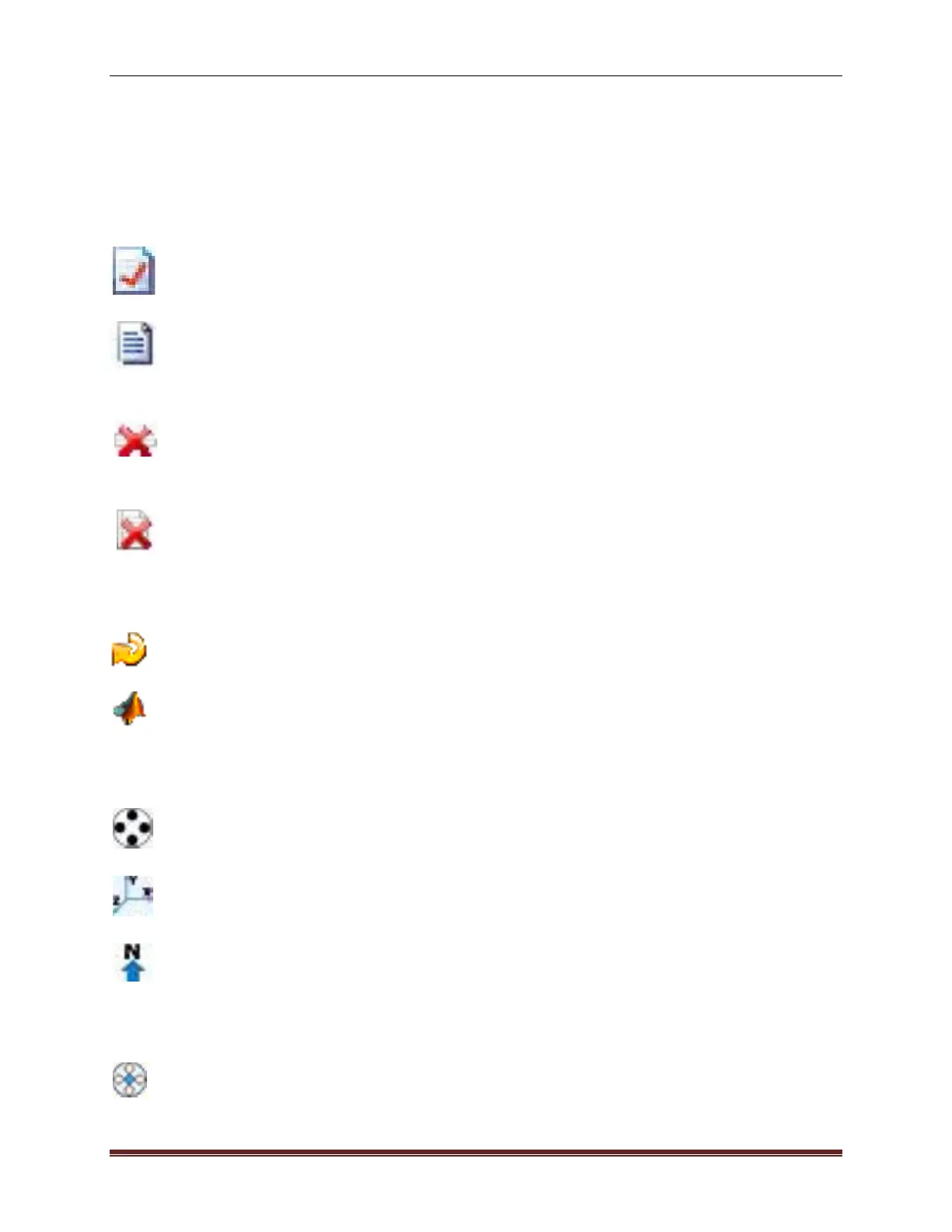
Discharge Summary Menu Bar (Desktop version) presents four icons that allows various
post processing options and are described below:
Discharge Summary Report – Opens a printer-friendly window that presents the col-
lected data in a pre-defined report format.
Export Discharge Summary to ASCII – Opens a dialog box that allows a file to be
saved in ASCII format. The file has a plain text format for importing the data into another
application for further processing.
Delete Selected Discharge Record(s) – A post processing option used to delete a rec-
ord in the Discharge Summary Window. This option will have an effect on the overall
discharge measurement summary as the record is deleted from the summary; however
the file is still saved in PC or Mobile device memory. Multiple records can be selected
and deleted by checking the tick-mark boxes next to the record.
Delete All Discharge Records – Using the Delete All Records button deletes all loaded
records from the Discharge Summary.
Processing Toolbox Icons (Desktop version)
Reset to Field Settings – Allows you to reset the values that were used in the field for
the discharge calculation.
Export to MATLAB – Opens a pop-up window used to name and save the file for import
into MATLAB.
Coordinate System Icons (Desktop version)
Beam Coordinates – Beam coordinates are relative to the orientation of the transducers
on the head of the ADP. Beam coordinates are typically used for diagnostics purposes
only.
XYZ Coordinates – Applies the standard XYZ coordinates to the data, where: X is the
North axis, Y is East axis and Z is the vertical axis.
ENU Coordinates – Applies the ENU (East, North, Up) coordinate system to the data.
Local ENU coordinates are formed from a plane tangent to the Earth's surface fixed to a
specific location.
Depth Reference (Desktop Version)
Vertical Beam – Applies data from the 0.5 MHz transducer for M9 systems and the 1.0
MHz data from the S5 system to determine water depth for the cross-sectional area.
 Loading...

