PLG12863E AFI4700 Pilot’s Guide 47
3.3 HSI Overlays
Map Overlay mode is available when valid data is provided by the
selected navigation source. During map mode the course deviation
indicator is suppressed and range rings are added at full scale (solid)
and half scale (dashed). Overlay data can be selected from one or all
of the following options:
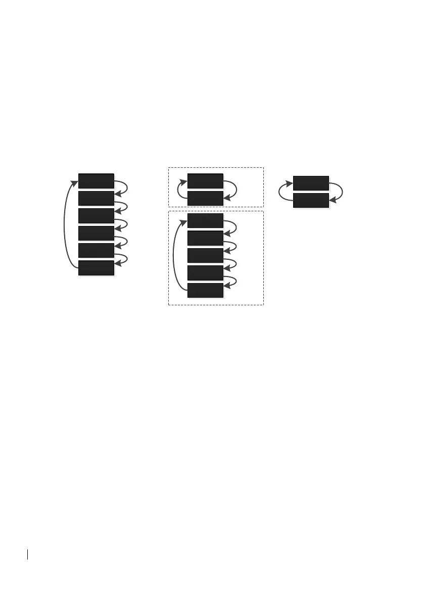
Figure 3-8: Bezel button Selections
3.3.1 Bezel button Operation
The three (3) center bezel buttons control HSI map overlay selection.
A single option from each key can be selected at the same time.
Green text indicates a selection is currently overlaid, and white text
indicates no overlay.
If weather radar, terrain, or lightning detection are not enabled and
correctly configured, those selections will be hidden.


 To Next Page