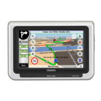
21
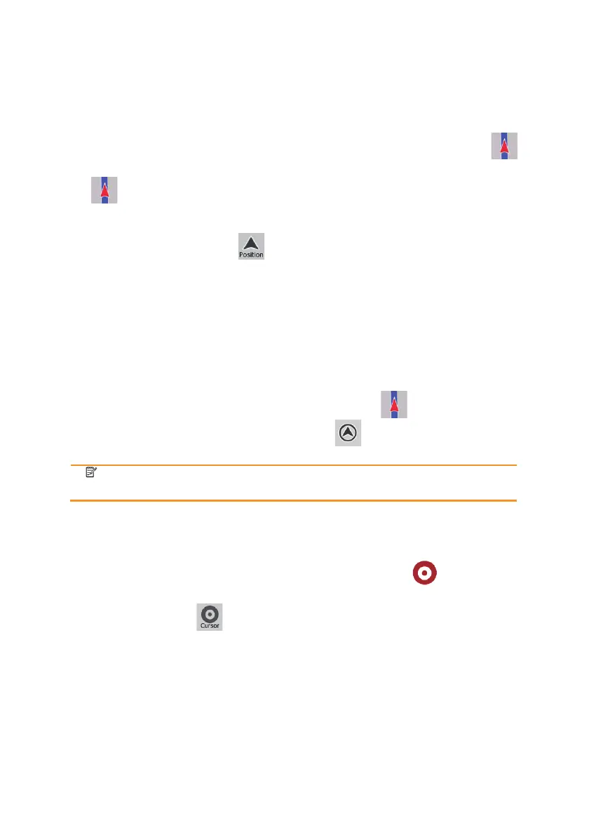
2.4.2 Position markers
2.4.2.1 Current GPS position and Lock-on-Road
When your GPS position is available, Clarion Mobile Map marks your current position with the
icon on the map.
The
icon may not show your exact GPS position and heading. If roads are near, it is aligned to
the nearest road to suppress GPS position errors, and the direction of the icon is aligned to the
direction of the road.
To use the current GPS position, tap
. The Position menu appears and you can save the GPS
position as one of the following:
x a Favorite
x a Road Safety Camera
x a POI
x a map marker Pin
2.4.2.2 Returning to normal navigation
When GPS position is available, and you have moved the map (the icon is moving or is not
even visible), or you have rotated the map in 3D mode, the
button appears. Tap it to move the
map back to the GPS position and re-enable Track-up map orientation (automatic map rotation).
Note!
Even if you move the map while you are driving, Clarion Mobile Map continues
navigating if there is an active route: it plays the voice instructions and displays the turn
preview icons according to your current GPS position.
2.4.2.3 Selected location (Cursor)
If you select a location in the Find menu, or you tap the map, the Cursor appears at the selected point
on the map. Clarion Mobile Map displays the Cursor with a radiating red dot (
) to make it visible
at all zoom levels, even when it is in the background of a 3D map view.
When the Cursor is set, tap
. The Cursor menu appears and you can use the Cursor as one of
the following:
x the start point of a route
x a via point in a route
x the destination of a route
You can also search for POIs around the Cursor.
Or you can save the location of the Cursor as:
x a Favorite
 Loading...