©
2018 DJI All Rights Reserved.
67
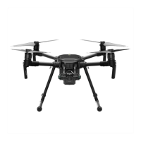
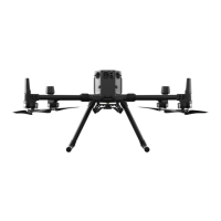
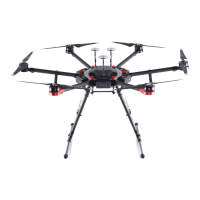
MATRICE 200
Series User Manual
*GUIFBJSDSBGUnJFTPVUPGUIFMJNJUZPVDBOTUJMMDPOUSPMUIFBJSDSBGUCVUZPVDBOOPUnZJUBOZ
farther.
*GUIFBJSDSBGUnJFTPVUPGUIFNBYSBEJVTJUXJMMnZCBDLXJUIJOSBOHFBVUPNBUJDBMMZXIFO(14
signal is strong.
'PSTBGFUZSFBTPOTQMFBTFEPOPUnZDMPTFUPBJSQPSUTIJHIXBZTSBJMXBZTUBUJPOTSBJMXBZ
lines, city centers, or other sensitive areas. Fly the aircraft only within your line of sight.
No-Fly Zones
"MM/P'MZ;POFTBSFMJTUFEPOUIF%+*PGmDJBMXFCTJUFBUIUUQXXXEKJDPNnZTBGFOPnZ/P'MZ;POFT
BSFEJWJEFEJOUP"JSQPSUTBOE3FTUSJDUFE"SFBT"JSQPSUTJODMVEFNBKPSBJSQPSUTBOEnZJOHmFMETXIFSF
manned aircraft operate at low altitudes. Restricted Areas include country borders or locations where
nJHIUTNBZDBVTFTFDVSJUZDPODFSOT5IFEFUBJMTPGUIF/P'MZ;POFTBSFFYQMBJOFECFMPX
Airport:
"JSQPSU/P'MZ;POFTDPNQSJTFPG5BLFPGG3FTUSJDUFE;POFTBOE3FTUSJDUFE"MUJUVEF;POFT&BDI
zone features circles of various sizes.
(2) R1 miles depends on the shape and size of the airport and is an area around the airport that is a
5BLFPGG3FTUSJDUFE;POFXJUIJOXIJDIUBLFPGGBOEnJHIUBSFQSPIJCJUFE
'SPN3NJMFUP3NJMFBSPVOEUIFBJSQPSUUIFnJHIUBMUJUVEFJTSFTUSJDUFEUPBEFHSFF
inclination, starting at 65 feet (20 meters) from the edge of the airport and radiating outward.
Flight altitude is limited to 1640 feet (500 meters) at R1+1 mile.
GPS Signal Strong Blinking Green
Flight Limits DJI GO 4 App
Maximum Flight
Altitude
"JSDSBGUhTBMUJUVEFDBOOPUFYDFFEUIFTQFDJmFEWBMVF
Warning: Height
limit reached.
Max Radius Flight distance must be within the max radius.
Warning: Distance
limit reached.
GPS Signal Weak Blinking Yellow
Flight Limits DJI GO 4 App
Maximum
Flight
Altitude
Height is restricted to 26 feet (8 meters) when the GPS signal
is weak and Vision Positioning is active. Height is restricted
to 98 feet (30 meters) when the GPS signal is weak and
Vision Positioning is inactive.
Warning:
Height limit
reached.
Max Radius No Limits

 Loading...