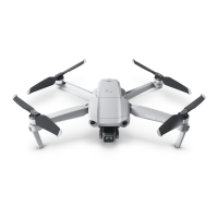
DJI Mavic 3 User Manual
53
©
2021 DJI All Rights Reserved.
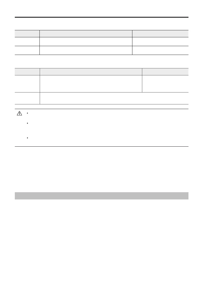
Flight Limits DJI Fly App
Max Altitude Aircraft's altitude cannot exceed the specied value Warning: Height limit reached
Max Radius Flight distance must be within the max radius Warning: Distance limit reached
Only Downward Vision System is available
Flight Limits DJI Fly App
Max Altitude
Height is restricted to 30 m when the GNSS signal is weak.
Height is restricted to 3 m when the GNSS signal is weak
and light conditions is not sucient.
Warning: Height limit
reached.
Max Radius
The restrictions on the radius are disabled and warning prompts cannot be received in
the app.
The altitude limit when the GNSS is weak will not be restricted if there was a strong GNSS signal
when the aircraft was powered on.
If the aircraft reaches a limit, you can still control the aircraft, but you cannot y it any further. If the
aircraft ies out of the max radius, it will automatically y back within range when the GNSS signal is
strong.
For safety reasons, do not y close to airports, highways, railway stations, railway lines, city centers,
or other sensitive areas. Fly the aircraft only within your line of sight.
GEO Zones
All GEO zones are listed on the DJI ocial website at http://www.dji.com/ysafe. GEO zones are divided
into different categories and include locations such as airports, flying fields where manned aircraft
operate at low altitudes, borders between countries, and sensitive locations such as power plants.
There will be prompts in the DJI Fly app to y in GEO zones.
Pre-Flight Checklist
1. Make sure the remote controller, mobile device, and Intelligent Flight Battery are fully charged.
2. Make sure the Intelligent Flight Battery and the propellers are mounted securely.
3. Make sure the aircraft arms are unfolded.
4. Make sure the gimbal and camera are functioning normally.
5. Make sure that there is nothing obstructing the motors and that they are functioning normally.
6. Make sure that DJI Fly is successfully connected to the aircraft.
7. Make sure that the camera lens and Vision System sensors are clean.
8. Use only genuine DJI parts or parts certified by DJI. Unauthorized parts or parts from non-DJI
certied manufacturers may cause system malfunctions and compromise safety.
When GNSS is available
 Loading...
