52
©
2021 DJI All Rights Reserved.
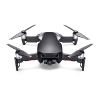
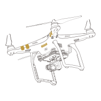
Flight
Once pre-ight preparation is complete, it is recommended to hone your ight skills and practice ying
safely. Make sure that all ights are carried out in an open area. Refer to the Remote Controller and DJI
Fly sections for information about using the remote controller and the app to control the aircraft.
Flight Environment Requirements
1. Do not use the aircraft in severe weather conditions including wind speeds exceeding 12 m/s, snow,
rain, and fog.
2. Only fly in open areas. Tall structures and large metal structures may affect the accuracy of the
onboard compass and GNSS system. It is recommended to keep the aircraft at least 5 m away from
structures.
3. Avoid obstacles, crowds, high voltage power lines, trees, and bodies of water. It is recommended to
keep the aircraft at least 3 m above water.
4. Minimize interference by avoiding areas with high levels of electromagnetism such as locations near
power lines, base stations, electrical substations, and broadcasting towers.
5. Aircraft and battery performance is subject to environmental factors such as air density and
temperature. Be careful when flying 6,000 m or more above sea level, since battery and aircraft
performance may be reduced.
6. Aircraft cannot use GNSS within the polar regions. Use the Downward Vision System when ying in
such locations.
7. If taking o from a moving surface, such as a moving boat or vehicle, y with caution.
Flight Limits and GEO Zones
Unmanned aerial vehicle (UAV) operators should abide by the regulations from self-regulatory
organizations such as the International Civil Aviation Organization, the Federal Aviation Administration,
and local aviation authorities. For safety reasons, flight limits are enabled by default to help users
operate this aircraft safely and legally. Users can set ight limits on height and distance.
Altitude limits, distance limits, and GEO zones function concurrently to manage ight safety when GNSS
is available. Only altitude can be limited when GNSS is unavailable.
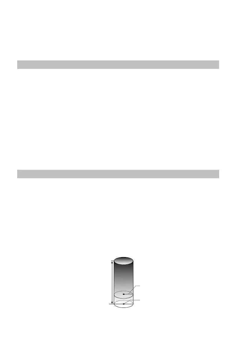
Flight Altitude and Distance Limits
The ight altitude and distance limits can be changed in DJI Fly. Based on these settings, the aircraft will
y in a restricted cylinder, as shown below:
Max Flight Altitude
Height of aircraft
when takeo
Max Radius
Home Point