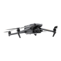
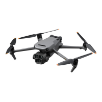
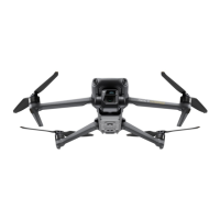
DJI Mavic 3M User Manual
85
©
2023 DJI All Rights Reserved
.
Terrain Follow can also be enabled in the Linear Route. Both Real-Time Follow and DSM
Follow are available. Refer to the Terrain Follow section in Area Route for more information.
Collecting Aerial Photogrammetry Data
The collection of aerial photogrammetry data can be achieved using two flight tasks: Area
Route and Linear Route. The following takes the Ortho Collection in the Area Route as an
example for specific operation instructions.
Before collecting aerial photogrammetry data, enter the aircraft settings to enable RTK,
and ensure that RTK is connected and in FIX state.
1. Tap on the home screen of DJI Pilot 2 to enter the flight route library, select Create a
Route or Import Route (KMZ/KML), and select
to create an Area Route. Tap on the
map view, and drag the boundary point to adjust the range of the mapping area. Tap
in the middle of the boundary point to add a boundary point, and adjust the longitude
and latitude of the point in the parameter settings on the right. Tap to delete the
selected boundary point, and click to delete all boundary points.
2. Select the aircraft model, the camera model, and the lens, then set the following flight
route parameters in sequence:
a. Set the task name and select Ortho Collection.
b. Set the altitude mode (ASL/ALT), flight route altitude, target surface to takeoff point/
flight route to target surface, takeoff speed, flight route speed, course angle, the
action upon completion, and enable elevation optimization.
c. In Advanced Settings, set the side overlap ratio, frontal overlap ratio, margin, photo
mode, and customize camera angle.
3. Tap
to save the task and tap to upload and execute the flight task.