

L
Leonard JohnsonSep 5, 2025
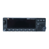
Why is my Garmin GNX 375 not receiving heading from compass system?
- SsharonreevesSep 5, 2025
If your Garmin GNX 375 is not receiving heading from the compass system (ARINC 429 heading input), the issue could stem from an incorrect ARINC 429 input speed setting or incorrect wiring connections. Verify the ARINC 429 input port speed setting for the device it's connected to. Also, check the wiring connections; the raw data being received by the GNX 375 can be monitored on the ARINC Inputs page found on the Diagnostics page.