<Reference List>
For further details, refer to the corresponding chapter of the instruction manual listed below.
T:Table Editing Mode/G:Graphic Editing Mode
Instruction Manual
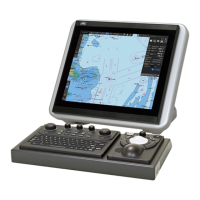
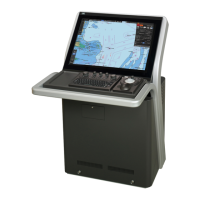
JAN-7201/JAN-9201
1 Route Planning 1.1 Starting the Route Planning
Creating the New Route
T: 7.6.2
1.2 Inserting the New WPT
1.5 Reversing the WPT’s Order
1.6 Checking the WPT on the Chart
1.9 Displaying/Modifying Information of the WPT or Leg
1.10 Saving the Creating Route
Saving the New Route
T: 7.6.2
1.11 Exiting the Route Planning
7.3.2
1.12 Creating the Alternate Route
1.13 Saving the Alternate Route
2 Route Monitoring 2.1 Setting the Safety Contour Alarm / Setting the Look-ahead
the Dengerous Detection Alert
Setting the Safety Contour
2.2 Setting up the Arrival Last WPT
2.3 Setting up the Course difference warning
2.4 Setting up the Cross Track Alarm
TBD
2.5 Setting up the Dragging Anchor Alert
3 AIS/TT 3.1 Displaying the AIS/TT target
3.2 Narrowing down the display of the AIS/TT target
3.3 Activating the AIS Target
3.4 Deactivating the AIS Target
3.5 Displaying Information of the AIS/TT Target
3.6 Displaying Information the selected AIS/TT target
3.7 Displaying the TT vector
4 Navigation
4.1 Calculating the Distance
8.4.2
Calculating 4.2 Calculating the schedule
5 Radar Overlay 5.1 Overlaying the Radar Image
5.2 Displaying the Range Ring
5.3 Displaying the Bearing Scale
5.4 Adjusting the Brilliance of the Radar Echo
5.5 Suppressing the Rain and Snow Clutter
5.6 Suppressing the Sea Clutter
5.8 Rejecting the Interference from Other Radar
6.1 Starting the User Chart Editing
Creating the New User
Chart
Editing the Created User
Chart
6.8 Displaying/Modifying Information of the Object
12.2.8
6.9 Merging the User Chart
7 Setting the Chart
7.1 Setting up the display of Chart Common
14.2.10
displlay 7.2 Setting up the display of Chart
 Loading...