74
2. Press ↓ to
COMMUNICATIONS PORT|ENT.
Configure NMEA
You can configure the unit to use specific NMEA sentences.
1. Press
MENU|MENU|↓ to SYSTEM SETUP|ENT.
2. Press ↓ to
COMMUNICATIONS PORT|ENT|↓ to CONFIGURE NMEA 0183|ENT.
3. A menu appears showing the prefixes of the available NMEA sen-
tences. A check mark next to a prefix means the prefix is in use. Use ↑
↓ → ← to select a prefix, then press
ENT to turn off the prefix. Press
ENT again to check the box and turn a prefix on.
4. When the desired prefixes are checked or unchecked, press
EXIT|EXIT|EXIT|EXIT to return to the previous page.
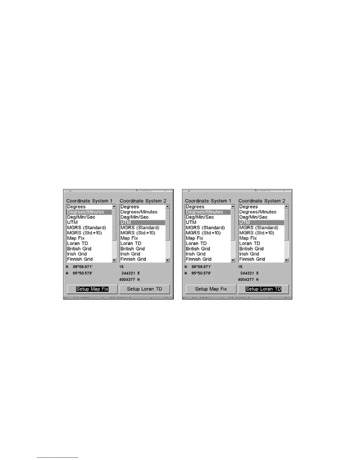
Coordinate System Selection
The Coordinate System Menu lets you select the coordinate system to
use when displaying and entering position coordinates.
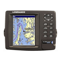
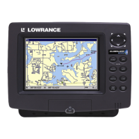
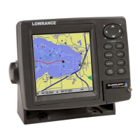
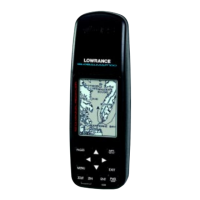
Menus for changing coordinate system used to display positions.
To get to Coordinate System Selection:
1. Press
MENU|MENU|↓ to GPS SETUP|ENT.
2. Press ↓ to
COORDINATE SYSTEM|ENT.
This unit can show a position in degrees (36.14952°); degrees, minutes
and thousandths of a minute (36° 28.700'); or degrees, minutes, seconds
and tenths of a second (36° 28' 40.9"). It can also show position in: UTM
(Universal Transverse Mercator) projection; MGRS (Standard); MGRS
(Standard + 10); Map Fix; Loran TD; British, Irish, Finnish, German,
New Zealand, Swedish, Swiss, Taiwan and Greek.
www.Busse-Yachtshop.de email: info@busse-yachtshop.de
 Loading...