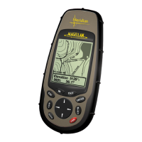
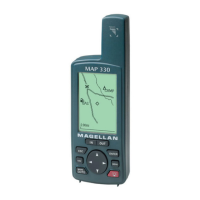
27Magellan Meridian GPS Receiver
Reference
Street Information Description — This mode just displays the name of
the street close to your present position.
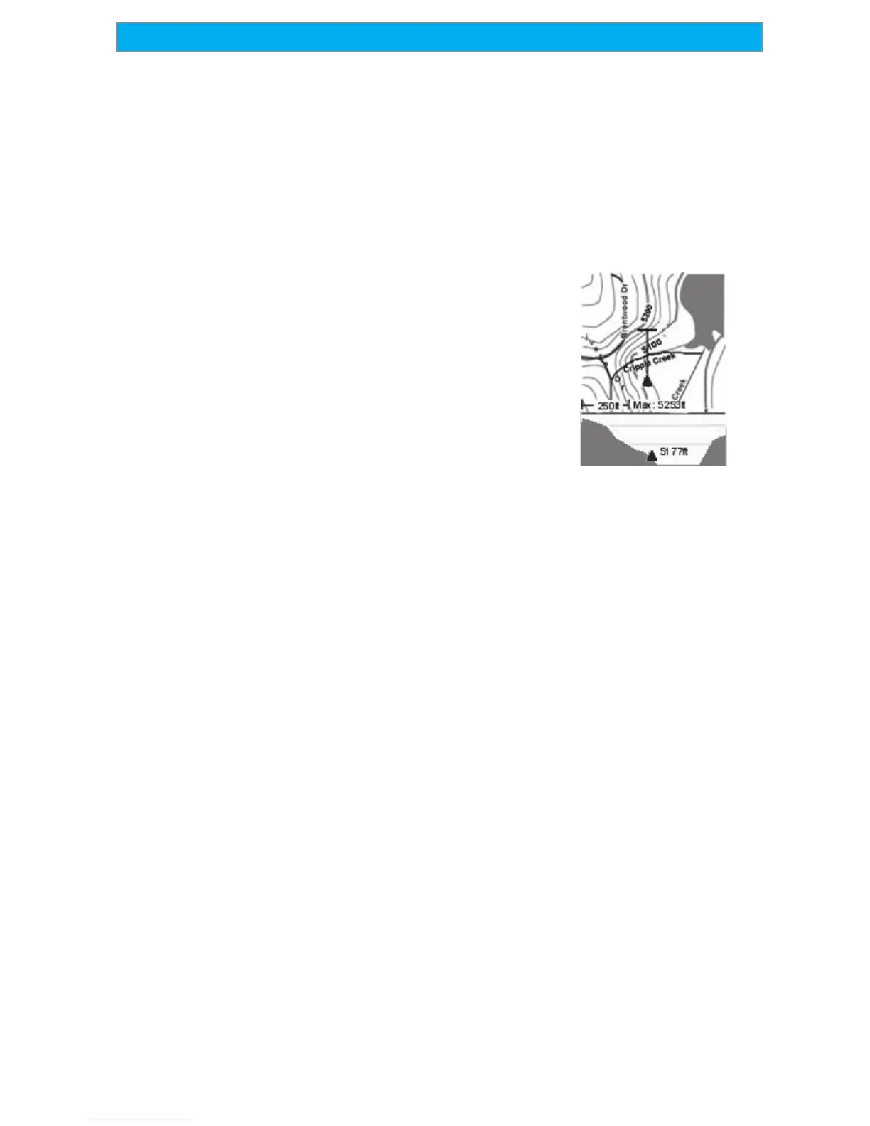
Horizontal Profile Description — This mode displays at the bottom of the
Map screen a graphical representation of the horizon at a fixed distance
from your present position. This fixed distance is equal to the map scale
you have selected for the Map screen, so as you zoom in or out, the
horizon displayed will change. In the Horizon
Profile mode, you will also notice a line
projected out from your present position icon to
a shorter perpendicular line. The intersection of
the two lines indicates the location on the map
where the horizon is being computed. (This
function requires that map data has been
uploaded from Magellan MapSend Topo for the
United States and that your present position as
well as the projected horizon falls within the
area uploaded.)
You should note that when you select Horizontal Profile, your Map
Orientation will change to “Track Up” so you may need to change that
when you are done viewing the horizontal profile. If you change
Orientation to something other then Track Up while viewing the
Horizontal Profile, the default Two Data Fields is displayed. Changing
the Orientation back to “Track Up” will revert back to the Horizontal
Profile.
Also, you must be zoomed in to a scale of 0.80 miles or closer for the
horizontal profile to be displayed. Zoom scales higher then 0.80 miles
will cause the data displayed to change to the Two Data Fields and will
change back to Horizontal Profile as you zoom in to 0.80 miles and
below.
Terrain Projection Description — This feature allows you to view the
terrain directly ahead of you graphically. It is computed from your
present position and extends in a straight line to the top of your display.
This provides you with instantaneous information on what terrain
elevations are directly in front of you. Your present position and
elevation are indicated at the left side of the display. The maximum
elevation for the terrain ahead of you is displayed above the graph, next
to the map scale indicator. (This function requires that map data has

 Loading...