52
English
Kinematic Survey Rover Setup
It is assumed that you have already run all the instructions de-
tailed in Chapter 2. Preparing For First-Time Use on page 4.
1. Turn on the receiver by pressing the red key.
2. Double-tap the Surveying icon.
3. If you have a ProMark3 RTK, press MENU, tap Receiver
Mode and then Post-processing.
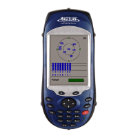
4. Press the NAV key until you see the Satellite Status screen
(see opposite). Wait until at least 4 satellites are received.
5. When there is enough satellites received, press the LOG
key. The Survey Settings screen opens.
6. Enter the following parameters:
• Survey Mode: Kinematic.
• Antenna Height: Distance from the rover antenna
mounted on top of the pole to the ground.
• Units: Antenna height unit (meters, US feet or Int feet)
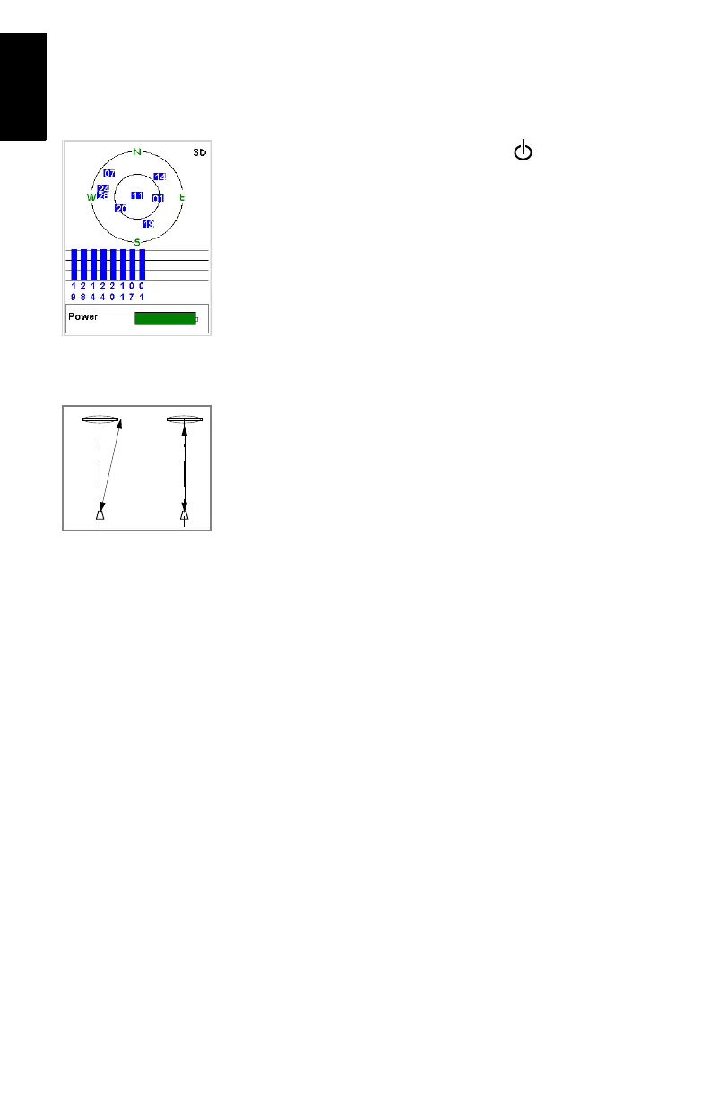
• Height Type: Slant or Vertical.
• Recording Interval: Time in seconds between any two
consecutive acquisitions of GPS data. Make sure the
same recording interval is used at the base and in the
rover.
• Initialize: Known. On selecting this option, the unit asks
you to indicate the Site ID of the control point where
initialization will take place.
Satellite Status screen
VerticalSlant