Remote Display
14
www.raymarine.com
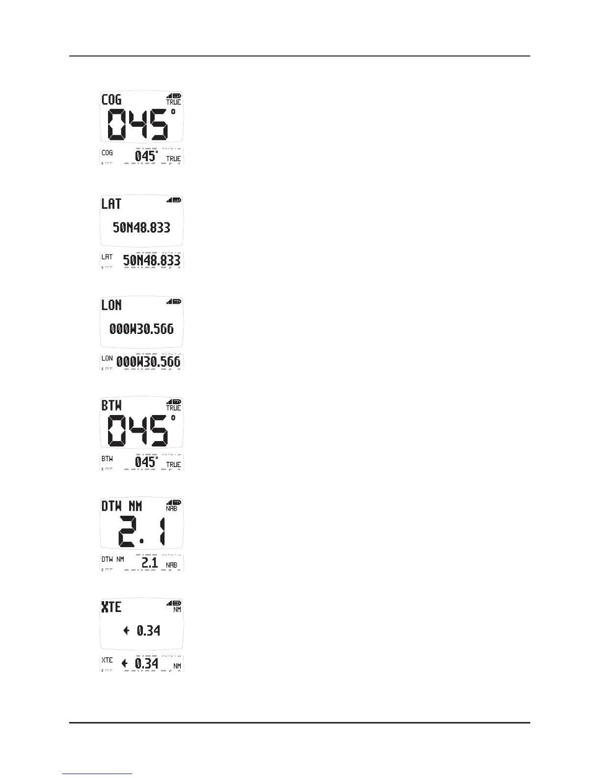
19 COG (Course over the ground)
The vessel's course over the ground as calculated by the
GPS Antenna or a GPS receiver.
20 LAT (Latitude)
The vessel's current latitude as calculated by the GPS
Antenna or a GPS receiver.
21 LON (Longitude)
The vessel's current longitude as calculated by the GPS
Antenna or a GPS receiver.
22 BTW (Bearing to waypoint)
Bearing to (active) waypoint. The active waypoint being the
one to which the GPS is currently navigating as defined by a
GPS receiver or plotter.
The waypoint name will be displayed.
23 DTW (Distance to waypoint)
Distance to active Waypoint. The active waypoint being the
one to which the GPS is currently navigating as defined by a
GPS receiver or plotter.
The waypoint name will be displayed.
24 XTE (Cross track error)
The distance away from the direct track to the (active)
waypoint as defined by a GPS receiver or plotter.
The arrow indicates the direction to steer to get back onto
course to the waypoint.
 Loading...