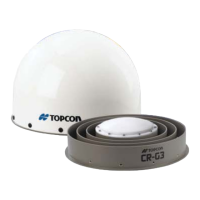
Receiver Setup as a Temporary Reference Station
P/N 7010-0935
3-23
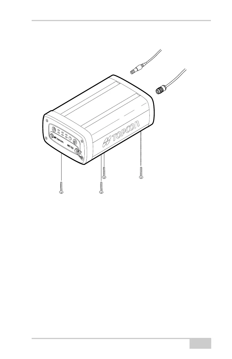
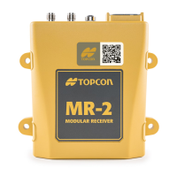
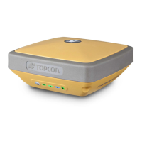
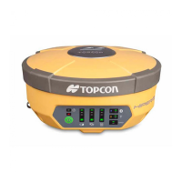
Figure 3-17. Mount Receiver and Connect Cables
Step 2: Measure Antenna Height
The location of the antenna relative to the point being measured is
very important for both surveys in which the elevation of the point is
important and in surveys for horizontal location only. Horizontal
surveys are often larger in area than can reliably fit on a flat plane;
therefore, the antenna adjustment must be done in three dimensions
and then projected onto a two dimensional plane.
The receiver calculates the coordinates of the antenna’s phase center.
To determine the coordinates of the station marker, the user must
specify the following:
• Measured height of the antenna above the station marker
• Method of measuring the antenna height
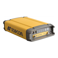
FN
FN
STAT
LINK
PWR 1
REC
RX/TX
PWR 2
To GPS
Antenna
To GPS
Antenna Port
To Grounded
Power Outlet
To Power
Port 1
A
Net-G3A_OM_Book.book Page 23 Thursday, May 14, 2009 8:49 AM