15
1 m × 1 m. The checkpoints should be evenly distributed around and in the middle of the mapping
area and have elevation differences, instead of being located on the same plane. To test the
penetrability of LiDAR, you are recommended to set a certain number of checkpoints beneath
vegetation. (Different from regular elevation checkpoints, checkpoints beneath vegetation are
verified based on ground point classification.)
3.1.2. Field Data Collection
3.1.2.1. Power-On and Deployment
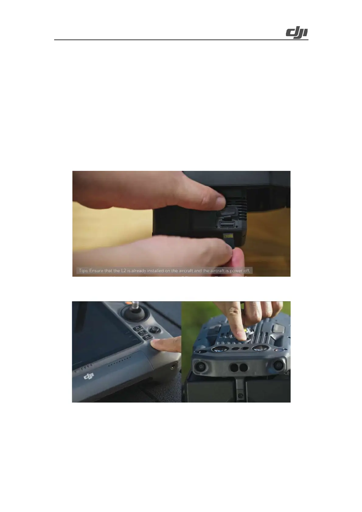
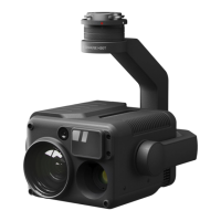
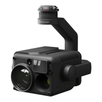
Mount Zenmuse L2 on the location of single downward gimbal No. 1, which faces the front of the
aircraft and has a Type-C port on the right, of Matrice 350 RTK and insert a microSD card.
Figure: microSD card insertion
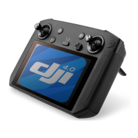
Power on the remote controller and the aircraft. Open the DJI Pilot 2 app for an auto-check.
Figure: Device power-on
Enter the camera view and go to General Settings > Precise Positioning Setting. Select RTK or PPK
to obtain accurate-to-centimeters positioning data.