28
3.1.3. Data Processing
3.1.3.1. Data Import
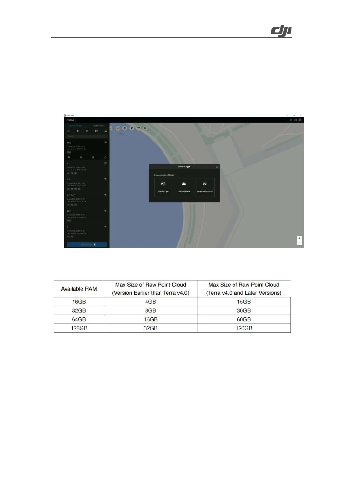
Launch DJI Terra, tap New Mission, and create a LiDAR Point Cloud task.
Figure: LiDAR Point cloud process task creation in Terra
LiDAR point cloud data processing occupies a large amount of computer resources. Make sure that
the computer configurations are sufficient to process LiDAR point cloud data smoothly.
Figure: Correspondence between computer memory and maximum raw point cloud file size
Click the folder icon to import a folder that contains the LiDAR point cloud data collected by
Zenmuse L2. (The folder should contain files with the following suffixes: CLC, CLI, CMI, IMU,
LDR, RTB, RTK, RTL, and RTS. Any JPEG files in the folder are not required to be imported.)
 Loading...