45
3.2. Power Line Scenarios
Zenmuse L2 can apply to acquisition of the point cloud of power lines of the main grid and the
distribution grid to serve tree barrier analysis or inspection route planning. If coordinates and
heights of towers are unknown, you need to manually set points to determine the coordinates
of the electrical towers, and then carry out the scan.
3.2.1. Preparation
3.2.1.1. Device Updates
Please confirm that your device's firmware version is not earlier than the versions specified in the
session "1. Applicable Versions" above.
3.2.2. Route Planning
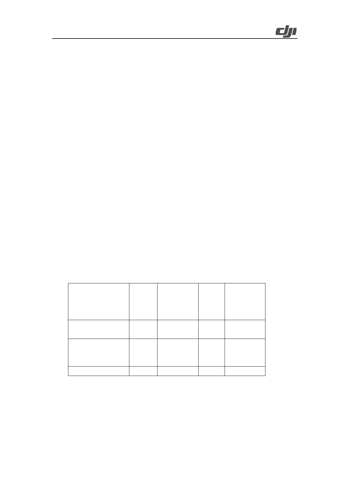
Select a route planning method:
Ø In complex environments or scenarios where accurate coordinates cannot be obtained,
waypoint setup on aircrafts via a network RTK is recommended.
Ø In flat and open areas with accurate coordinate readings, you can directly use coordinates
to plan routes.
Ø In special areas, you can use third-party software for route planning or manually reshoot
the areas.
Main Grid
with Big
Altitude
Differences
Waypoint Setup on
Aircraft
Route Generation
based on Known
Coordinates
3.2.2.1. Waypoint Setup on Aircraft
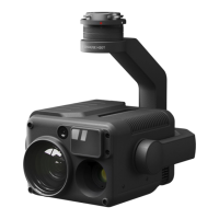
Check the aircraft status. You can use Matrice 350 RTK, Matrice 30 series, Mavic 3 Enterprise
Series, or another model with a built-in RTX. In this example, Matrice 350 RTK is used. Open DJI
Pilot 2 and click Route-based Flight > Waypoint Flight > Live Mission Rec.
 Loading...