53
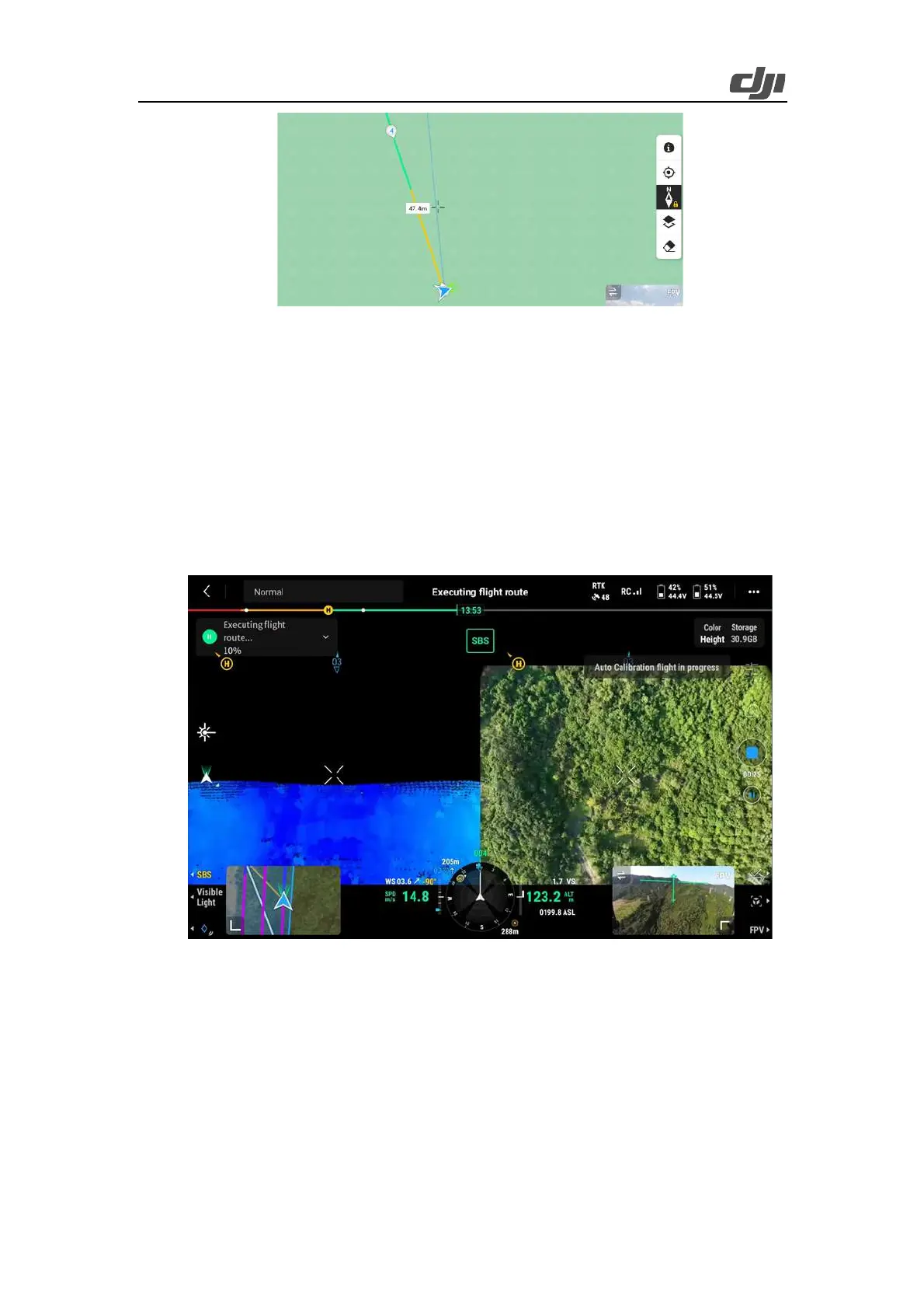
Figure: IMU calibration
The yellow segment indicates the route segment for IMU calibration. The aircraft will fly
backward and forward along this route segment while accelerating and decelerating, for three
times.
f) After IMU calibration, the aircraft adjusts the pitch angle at the first waypoint and starts
point cloud data collection and photo snapping. During task execution, you can switch between
Point Cloud and SBS views to view the point cloud effect in real time.
Figure: Side-by-side display of the visible light view and LiDAR view
g) If IMU calibration is enabled in route settings, the aircraft automatically performs IMU
calibration in the following two situations:
Ø When the aircraft needs to fly for over 200 seconds from a waypoint to the next, it
automatically adds the IMU calibration action to this route segment. If the aircraft
can reach the next waypoint within 200 seconds, it will not add the IMU calibration
 Loading...