3
Overview
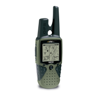
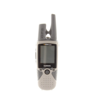
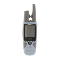
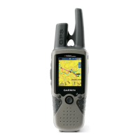
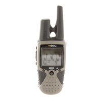
Operating the Rino 130
For best results, you should initialize the GPS receiver in your Rino 130 unit before you use
it the first time. See page 5 for instructions on initializing the unit. For most accurate results,
the compass and altimeter should also be calibrated. Refer to the Calibrating the Compass and
Calibrating the Altimeter sections for complete information.
The Rino 130 is programmed to provide “pop-up” messages concerning operational charac-
teristics and conditions. Press the THUMB STICK IN to acknowledge a message and return to
the current feature.
To use the THUMB STICK:
• Press IN to enter highlighted options and to confirm messages
• Move UP, DOWN, RIGHT or LEFT to move through lists, highlight fields, on-screen buttons,
icons, enter data, or move the map panning arrow
• Press IN and hold to display Shortcuts Menu.
To use the page Option Menu:
1. Highlight the Option Menu on-screen button at the top of the display screen and then
press the THUMB STICK IN to open the menu.
2. Highlight the desired menu option and press the
THUMB STICK IN to activate the option.
3. To close without making a selection, move the
THUMB STICK to the RIGHT.
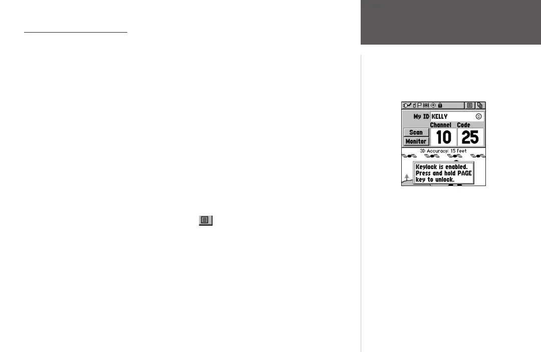
To lock/unlock the buttons:
1. Press and hold the THUMB STICK IN to access the Shortcuts Menu. Highlight ‘Enable
Keylock’ and press the THUMB STICK IN. The TALK button is not locked.
2. To unlock, press and hold the
PAGE button until ‘Keylock Disabled’ is displayed (about 5
seconds).
Rino 130 Overview
Hold the Page button to
release the keylock.
 Loading...