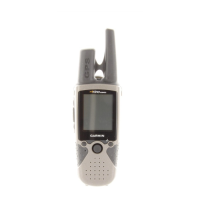
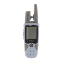
27
Reference
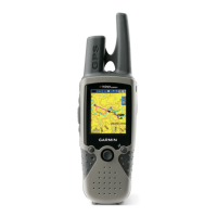
Map Page
Setting up the Map
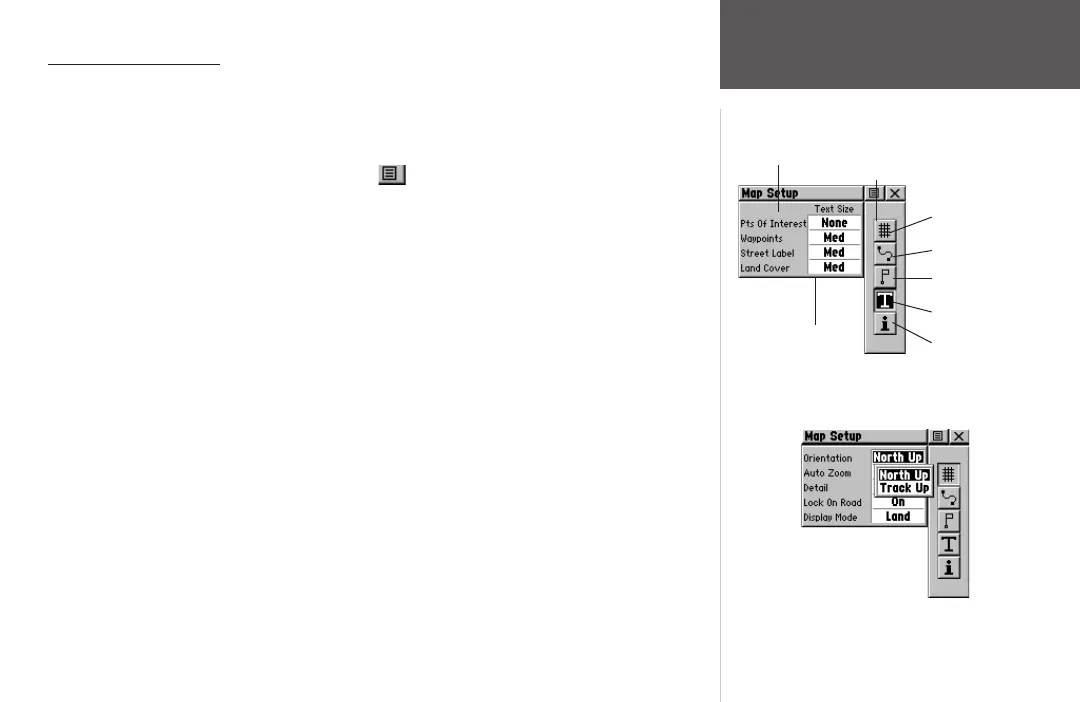
The ‘Setup Map’ option displays the five Map Setup Pages, each accessed by an on-screen
button.
To use Map Setup options:
1. Select ‘Setup Map’ from the Option Menu and then press the THUMB STICK IN to
display the Map Setup Page.
2. Press UP or DOWN on the
THUMB STICK to highlight the desired sub-page button, which
displays the options list for that sub-page to the left.
3. Press LEFT, then UP or DOWN on the
THUMB STICK to highlight an item on the list. Press
RIGHT to return to the sub-page buttons.
5. Use the
THUMB STICK to highlight the desired option and then press it IN to activate.
6. Press the
PAGE button or the on-screen ‘X’ button to return to the Map Page.
General Setup
Orientation - ‘Track Up’ or ‘North Up’; fixes the top of the map display to the current track
heading or to a north heading.
Auto Zoom - On or Off; automatically scales the map to display both your current location
and the next point to which you are navigating.
Detail - Most, More, Normal, Less, or Least; controls how much map detail you see. This
setting only applies to a map feature set to ‘Auto’. Those features which have a specified
scale or are turned ‘Off’ are unaffected by this setting.
Lock on Road - On or Off; available only if MapSource Data is loaded; when ‘On’ the
triangle icon locks to the road that you are traveling.
General Setup
Sub-Page
Buttons
Lines Setup
Points Setup
Text Setup
Map Data Setup
Setup Items
Options
General Setup
 Loading...