3ņ99
3.8.5 Set and Display Geodetic System
To create navigation information, set the geodetic system that is used with the connected navigation equipment.
When navigation information is loaded, the geodetic system used when the navigation information was saved,
is displayed. Make sure that the displayed geodetic system is identical to the one used with the navigation
equipment. If the two geodetic systems are different, the positions of navigation information on the radar
display will be shifted. Therefore, it is important to set the geodetic system of the navigation equipment.
Procedure 1 Press [RADAR MENU] key.
Press [6] key.
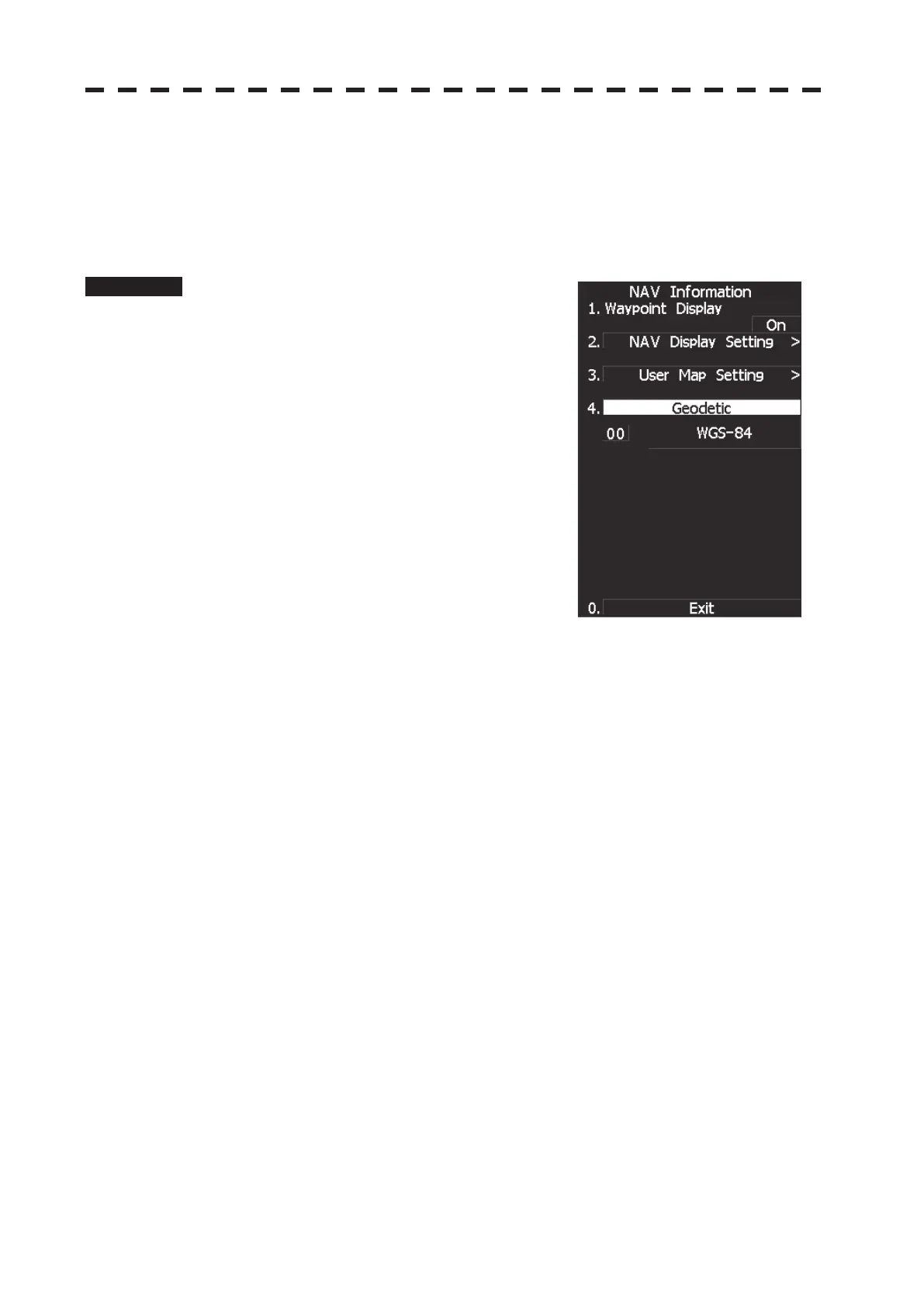
The NAV Information Menu will appear.
2 Press [4] key.
The geodetic system input ten-key screen will
appear.
3 Enter the number of the target geodetic
system, pressing the numeric keys.
4 The entered geodetic system number
can be changed by turning the [MULTI]
control.
5 Press [ENT] key.
The entered geodetic system will be determined.
 Loading...