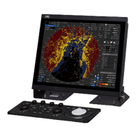
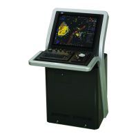
2-19 Section 2 Name and Function of Each Unit
APP A
APP B
AIS information
• AIS information of the target is displayed.
• When the (AIS standard/extension switching) button is clicked on, the display is switched
between the standard display and the extended display.
• The following information items are displayed.
AIS ID Displays an AIS target ID numbers (1 to 180).
*The maximum number of AIS ID numbers that can be displayed is 1000
when options are available.
When [▼] that is provided next to AIS ID is pressed, an AIS pause menu is
displayed, and when an item is selected, the specified AIS is set to pause.
[▼] button When [▼] that is provided next to AIS ID is pressed, a menu is displayed.
Deactivate AIS ID xx : When this item is selected, the specified AIS is set to
pause.
Show Registry of Ship : When this item is selected, the display is switched
to registry of ship from [Call Sign] and [MMSI].
Hide Registry of Ship : When this item is selected, the display is switched
to [Call Sign] and [MMSI] from registry of ship.
Displays the ship name of an AIS target.
MMSI Displays a nine-digit identification number for a ship/ground station
equipped with a DSC communication device.
COG or CTW Displays the course of the AIS target. In Course Over the Ground mode,
COG is displayed and in Course Through the Water, CTW is displayed.
SOG or STW Displays the ship speed of an AIS target. Displayed as "SOG" in the speed
over the ground mode and "STW" in the speed through the water mode.
Displays the closest approach distance to an AIS target.
Displays the time to reach the closest approach point to an AIS target.
Displays the bearing of an AIS target.
Displays the distance to an AIS target.
Displays the heading of an AIS target.
Displays the turning speed of an AIS target.
POSN and Position
Accuracy*
Displays the position of an AIS target and position-fix accuracy.
When the position-fix accuracy is low, [>10m] is displayed.
When the position-fix accuracy is high, [<10m] is displayed.
Displays the destination of an AIS target.
Navigation Status* Displays the navigation conditions of an AIS target.
For the details, refer to “Navigation Status” of the table in “2.3.1.4 AIS
*: Extended display only
 Loading...