 Loading...
Do you have a question about the Lowrance HOOK2 X series and is the answer not in the manual?
| Waterproof Rating | IPX7 |
|---|---|
| Water Resistance | IPX7 |
| Operating Temperature | -15°C to 55°C (5°F to 131°F) |
| Wi-Fi | No |
| Bluetooth | No |
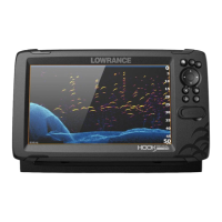
| Display Resolution | 480 x 272 pixels |
| Sonar Frequency | 200 kHz |
| Power Output | 200W RMS |
| Depth Capability | 500 ft (152 m) |
| Storage Temperature | -20°C to +60°C |
| Transducer | Included |
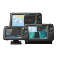
| Display Size | 4" or 5" or 7" (depending on model) |
| Sonar | Broadband Sonar |
| DownScan Imaging | Available on some models |
| GPS | Yes (on select models) |