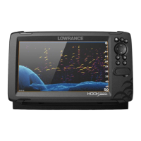
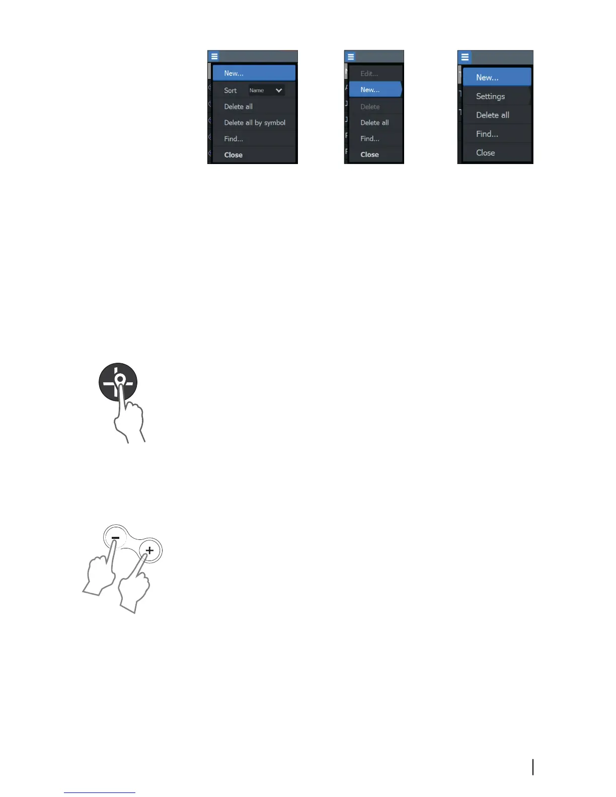
Waypoint options Routes options Trails options
Waypoints
A waypoint is a user generated mark positioned on the chart or GPS
plotter panel. Each waypoint has an exact position with latitude and
longitude coordinates. A waypoint is used to mark a position you
later may want to return to. Two or more waypoints can also be
combined to create a route.
Saving waypoints
Press and hold the Cursor/Waypoint key to save a new waypoint.
• With cursor inactive, the waypoint is placed at the vessel's
position
• With cursor active, the waypoint is placed at the cursor position
Creating a Man Overboard waypoint
If an emergency situation should occur, you can save a Man
Overboard (MOB) waypoint at the vessel’s current position by
pressing both the Zoom keys simultaneously.
When you activate the MOB function the following actions are
automatically performed:
• A MOB waypoint is created at the vessel’s position
• The display switches to a zoomed panel, centered on the vessel's
position
• The cursor is positioned on the MOB waypoint, and navigation
information to the MOB waypoint is shown in the cursor
information window
Multiple MOB waypoints are saved by repeatedly pressing the zoom
keys. The cursor information window continues to show navigation
information to the initial MOB waypoint until the cursor is moved or
removed from the panel.
Waypoints, Routes, and Trails | Hook² X Series Operator Manual
19
 Loading...