19
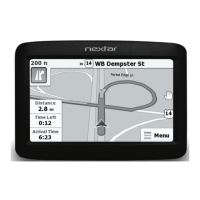
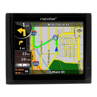
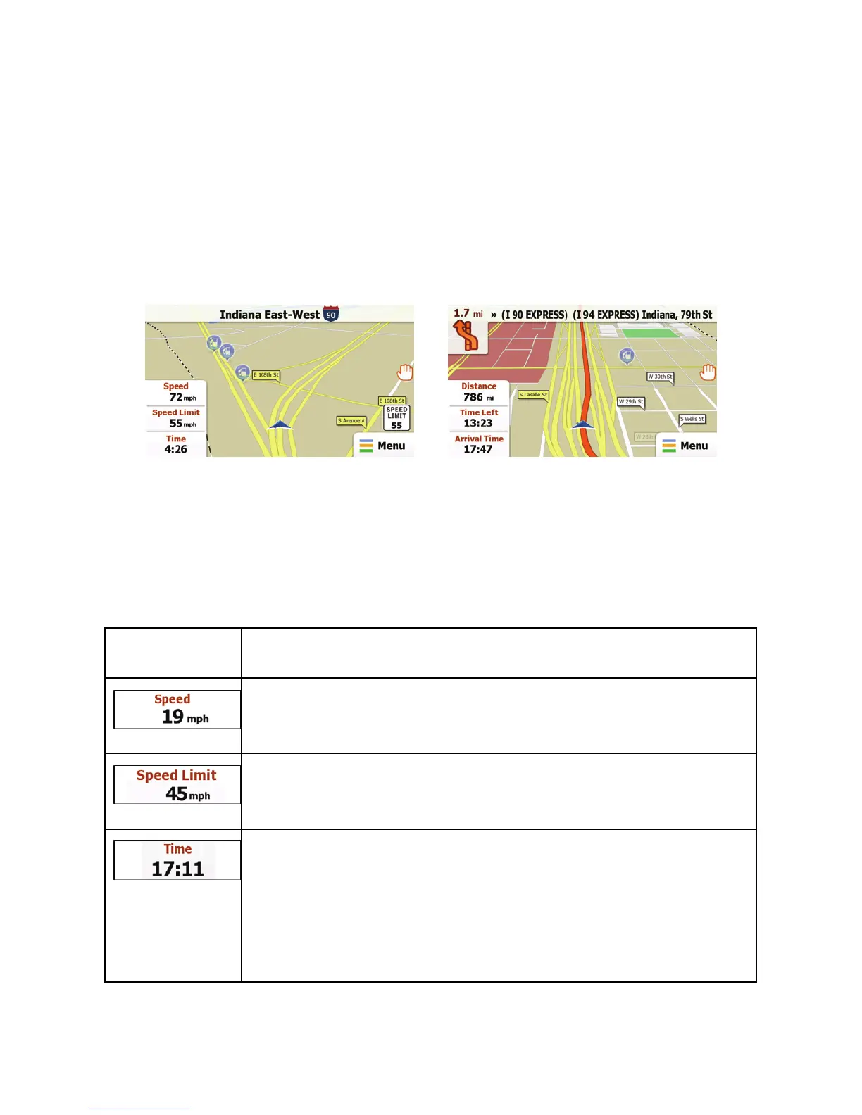
This map shows the current position (the Vehimarker, a blue
arrow by default), the recommended route (an orange line), and
the surrounding map area.
There are screen buttons and data fields on the screen to help
you navigate. During navigation, the screen shows route
information.
Tap the bottom left corner to see all three route data fields.
Tap any of the data fields to suppress others and display only
the selected one. The data fields are different when you are
navigating an active route and when you have no specified
destination (the orange line is not displayed).
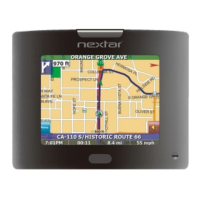
Data fields when cruising without a destination:
Field Description
Shows your current speed given by the GPS
receiver.
Shows the speed limit of the current road if the
map contains it.
Shows the current time corrected with time zone
offset. The accurate time comes from the GPS
satellites, and the time zone information comes
from the map or it can be set manually in
Regional settings.
 Loading...