Ú
Note: The bearing is always measured from the grey icon
to the blue icon.
You can also start the measuring function without an active cursor.
Both measuring icons are then initially located at the vessel position.
The grey icon follows the vessel as the vessel moves, while the blue
icon remains at the position given when you activated the function.
You terminate the measuring function by selecting the Finish
measuring menu option.
Creating a Man Overboard waypoint
If an emergency situation should occur, you can position a Man
Overboard (MOB) waypoint at the vessel’s current position by
selecting the MOB button on the Home page.
When you activate the MOB function the following actions are
automatically performed:
• a MOB waypoint is positioned at the vessel’s position
• the display switches to a zoomed chart panel, centered on the
vessel's position
• the system displays navigation information back to the MOB
waypoint
Multiple MOB waypoints are saved by repeatedly pressing the MOB
buttons. The vessel continues to show navigation information to
the initial MOB waypoint. Navigation to subsequent MOB waypoints
needs to be done manually.
Cancel navigation to MOB
The system continues to display navigational information towards
the MOB waypoint until you cancel the navigation from the menu.
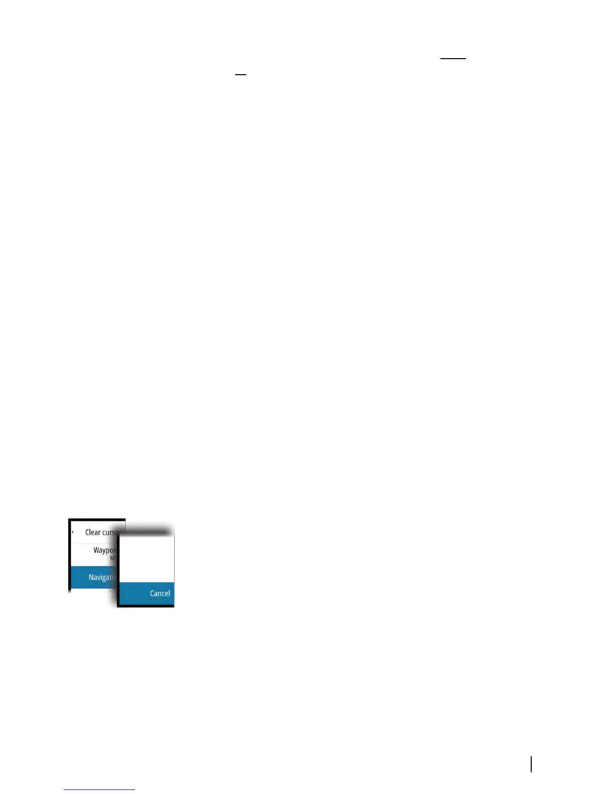
Delete a MOB waypoint
1. Select the MOB waypoint to activate it
2. Select the MOB waypoint's pop-up to display the MOB waypoint
dialog
3. Select the delete option in the dialog.
A MOB waypoint can also be deleted from the menu when it is
activated.
Basic operation | GO7 Getting Started
15