Edit a route from the chart panel
1. Select the route to make it active.
2. Select the route edit option in the menu.
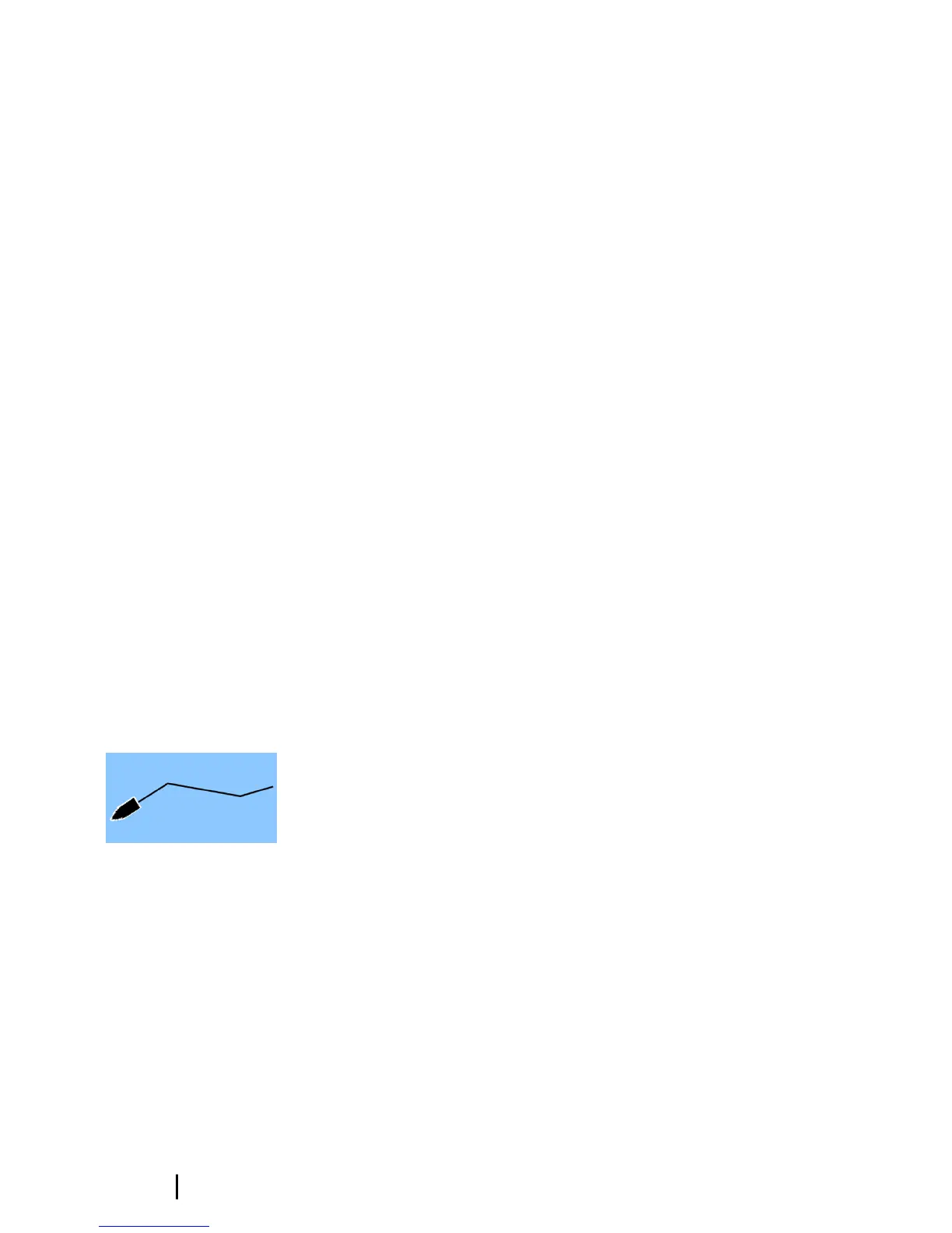
3. Position the new routepoint on the chart panel:
- If you set the new routepoint on a leg, a new point is added
between existing routepoints.
-
If you set the new routepoint outside the route, the new
routepoint is added after the last point in the route.
4. Drag a routepoint to move it to a new position.
5. Save the route by selecting the save option in the menu.
Ú
Note: The menu changes depending on the selected edit
option. All edits are confirmed or cancelled from the menu.
Autorouting and Easy Routing
The Autorouting and Easy Routing suggest new routepoint
positions based on information in the map and on your boat's size.
Before you can start using this feature the boat draught, width and
height must be entered into the system. The boat settings dialog is
automatically displayed if the information is missing when you start
the feature. For more information about Autorouting and Easy
Routing, refer to the Operator Manual.
Tracks
Tracks are a graphical presentation of the historical path of the
vessel, allowing you to retrace where you have travelled. Tracks can
be converted to routes from the Edit dialog.
From the factory, the system is set to automatically track and draw
the vessel's movement on the chart panel. The system continues to
record the Tracks until the length reaches the maximum points, and
then automatically begins overwriting the oldest points.
The automatic tracking function can be turned off from the Tracks
dialog.
Creating new Tracks
You can start a new track from the Tracks dialog, activated by using
the Tracks tool on the Home page.
22
Waypoints | GO7 Getting Started