Stonex S800 GNSS Receiver - User Manual - Ver.1-Rev.0 11
6. Static Surveying
6.1 Static Surveying Introduction
Static Surveying is an GPS positioning measurement by installing three or
more GNSS receivers at different measuring stations to measure
simultaneously so as to get the relative positions of measuring stations.
Scope of application:
• the establishment of national geodetic control network (second or
the following class).
• the establishment of precise engineering control network, such as
bridges measurement, tunnel measurement.
• the establishment of various densified control network, such as city
measurement, mapping control point measurement, road
measurement and boundaries location.
• GPS measurements including control survey used for mapping,
cadastral surveying, land information, real estate surveying,
geophysical prospecting, surveying and building construction in
small and medium-sized cities and towns, which should meet the
accuracy demand of D or E class GPS measurement.
6.2 Static Surveying Operation
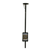
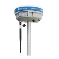
a) Set up the tripod at the measuring station, switch the receiver to
static mode and attach it to the tribrach, centering and leveling it in
strict standard.
b) Measure the height of antenna.
c) Record names of station and receiver, height of receiver,
measurement start time, measurement end time, observation
session and satellite number.
d) Static data logging: Power on the receiver and make sure it is in
static mode. Receiver starts to search satellites and satellite led
starts to be flashing. When it meets the record demand, the satellite