GPS Localization
P/N 7010-0781
3-35
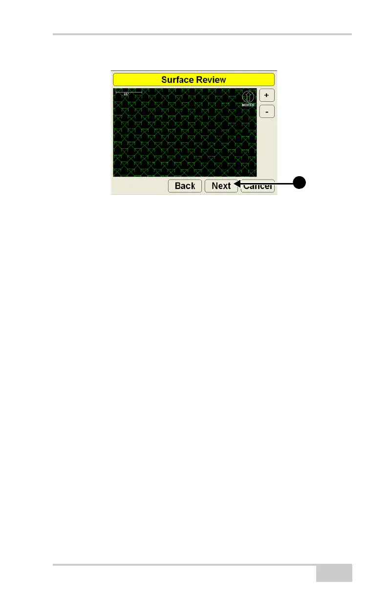
Figure 3-31. Surface Review
Raising or Lowering the Existing Surface
Creating a surface by raising or lowering it based on the current
surface allows you to more accurately display current screed
information on the screen. For example, if you want to lower a finish
grade design surface to 6” below the current surface, lower the
surface in 3DMC so that the cut/fill reference is from 0 (zero) rather
than from -6” (negative six).
1. Press Topcon LogoFileSurfacesWorking or Reference
and press New. Enter and select the following information for the
new surface file. Press Next (Figure 3-32 on page 3-36).
• Configuration name – enter a name for the file.
• Surface type – select Raise/lower existing surface.
 Loading...