SonTek, a Xylem brand
56 RiverSurveyor S5/M9 System Manual (February 2013)
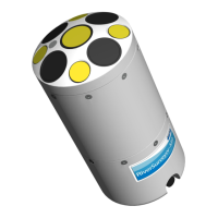
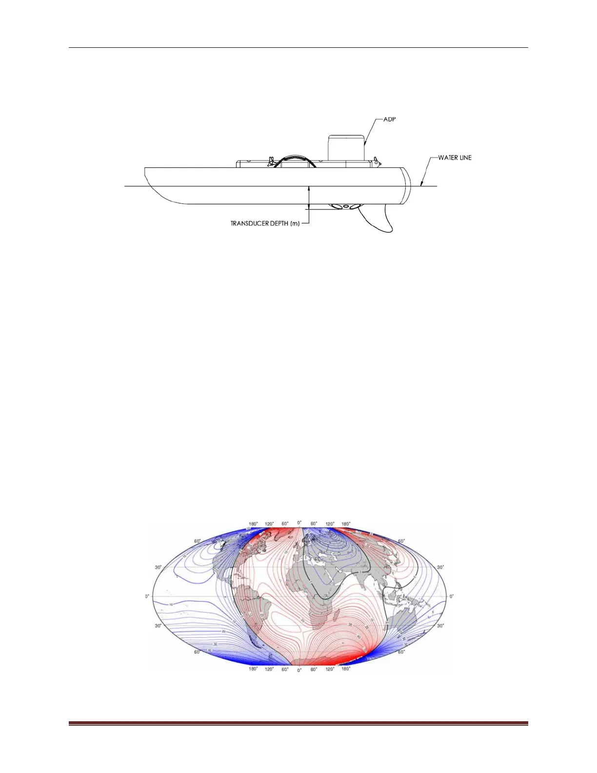
Transducer Depth – This is the distance that the vertical beam transducer is submerged below
the surface. Figure 61 shows a basic diagram that depicts an ADP’s transducer face submerged
in water. Transducer depth corresponds to the depth of water to which the transducer face is
submerged.
Figure 61. Explanation of Transducer Depth Measurement
Salinity – This user-defined parameter allows for a correction for the speed of sound in water
based on the salinity in parts per thousand (ppt) at the face of the ADP. A value representative
of the local water conditions must be entered manually to avoid potential erroneous calculations.
For reference, the salinity range is between 0 ppt (freshwater) to 34.5 ppt (seawater). Water
temperature is also a factor for speed of sound in water calculations. The ADP has a built-in
temperature sensor that automatically compensates for this effect.
Magnetic Declination – On the earth's surface, a calibrated compass indicates magnetic North
rather than geographic North. The angular difference between these two directions is called
magnetic declination (also known as variation, magnetic variation, or compass variation). Mag-
netic declination varies across the earth's surface and over time. The ADP compass is shipped
pre-calibrated; however, calibration is required at each site to remove any magnetic bias pre-
sent at the site. Compass calibration will ultimately give better measurement accuracy. The
magnetic declination angle (θ) can be found on maps, like the one presented in Figure 62. Mag-
netic declination maps can be found on many sites on the internet. However, it is important to
note that ALL of the magnetic declination values obtained from the internet and/or software are
modeled values and not actual values measured in the field. As such, variations between the
values obtained from websites and/or software may contain small errors. Correcting for such er-
rors can be made with the “Heading Correction” field in the Thresholds menu of the Processing
Toolbox (see p.Error! Bookmark not defined.).
Figure 62. Magnetic Declination Map of the World
 Loading...