K-series OEM Board User Guide
3.2 Status checking
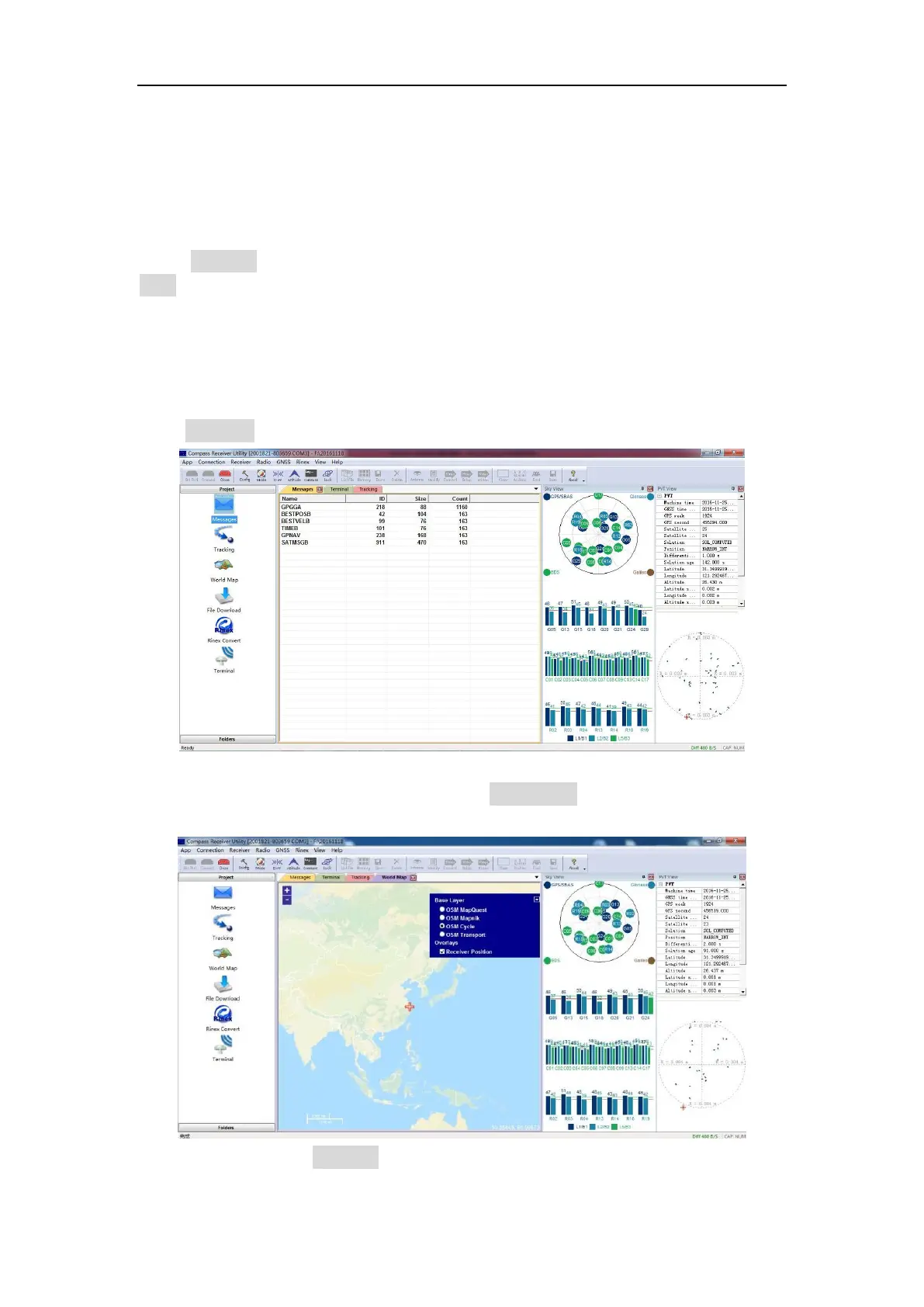
Go to Tracking to check satellite information such as SNR and elevation, and click
view to display the sky view shown below. Normally the SNR should reach the
following values:
GPS(G): max value for L1: 48-50; max value for L2: 40-42
Glonass(R): max value for L1: 48-50; max value for L2: 45-48
Beidou(C): max value for B1: 45-47; max value for B2: 45-47
Go to Message to check the output message of receiver.
Ensure your pc internet connected, and go to World Map -> select proper base layer
to check the current position on global map.
Tip: After you click on Tracking, terminal interface will output binary data that used
for requst sky view, PTV view. To stop output, please enter command “Uunlogall” in