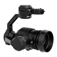
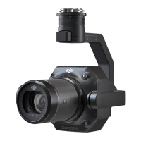
ZENMUSE L1
User Manual
©
2021
DJI All Rights Reserved.
13
Manual Flight
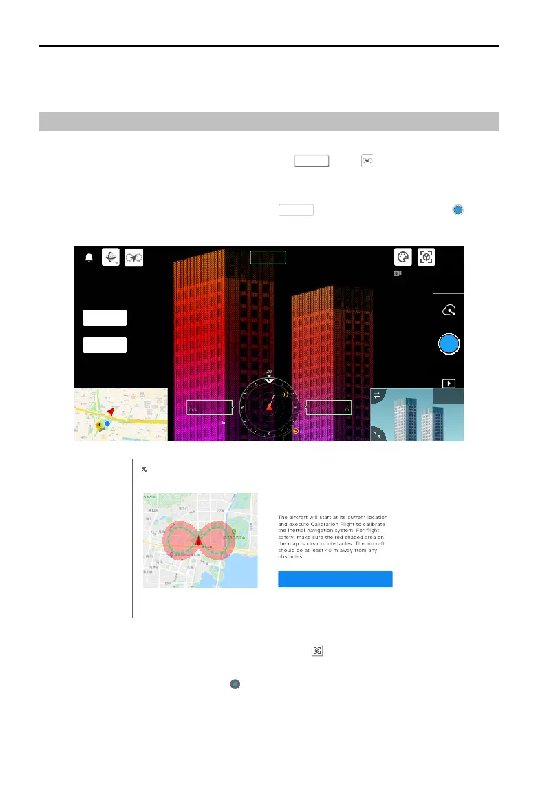
1. Fly the aircraft to an appropriate height. It is recommended that the target be 5 to 100 meters away
from the L1 and to perform a calibration ight. Tap
CAMERA
, and , and follow the prompts to
nish the calibration. Make sure there are no obstacles within a 30m radius during calibration ight.
2. Fly the aircraft to the target you wish to record and use the camera view to adjust the gimbal to a
suitable angle for recording point cloud data. Tap
LiDAR
to enter point cloud view. Tap to start
point cloud recording.
05.2
SPD
WS 04.0
130.2
ALT
VS2.5
ASL1234.5
R
12
2.4G
55%
56%
3.72v
3.72v
LiDAR
CAMERA
SBS
MENU
The aircraft will start at its current location
and execute Calibration Flight to calibrate
the inertial navigation system. For flight
safety, make sure the red shaded area on
the map is clear of obstacles. The aircraft
should be at least 40 m away from any
Start
3. Perform the ight mission to record point cloud data. Tap to view the point cloud model recorded
in real time during ight.
4. Return to the point cloud view and tap to nish recording.
5. It is recommended to perform another calibration ight after recording the point cloud data.
6. Power o the aircraft after the mission is completed and remove the microSD card from the L1.
Connect it to a computer and check the point cloud data, photos, and other les in the DCIM folder.
5. Power o the aircraft after the mission is completed and remove the microSD card from the L1.
Connect it to a computer and check the point cloud data, photos, and other les in the DCIM folder.
 Loading...