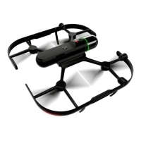
Type Value
Maximum speed, obstacle avoidance active 3 m/s
Maximum wind resistance 12 m/s
Maximum ight altitude above sea level 1800 m (5900 ft)
Flight time
13 min
5)
Hovering accuracy: P-mode, with GPS Vertical: ±0.5 m,
Horizontal: ±1.5 m
Maximum pitch angle 25°
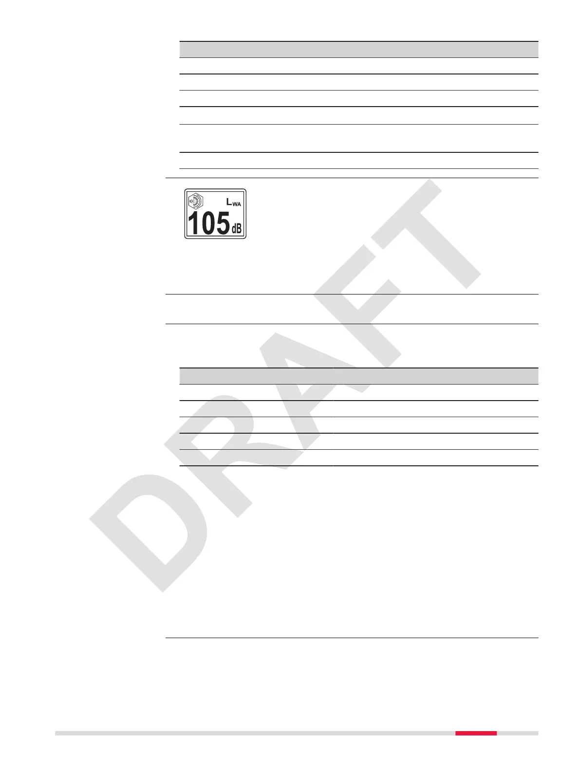
According to the safety standard IEC 61010-1, it is neces-
sary to wear hearing protection at levels higher than 80 dB.
Therefore, a minimum distance of 6 m from the BLK2FLY must be maintained
during take-off and landing. There, the value is lower than 80 dB. For each
country, the pilot is responsible for clarifying the valid limit values beforehand.
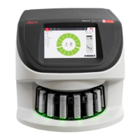
Refer to 14.2 Smart Battery GEB374 for details.
Multi-band GNSS high precision receiver.
Supported signals
System Signal
GPS L1C/A, L2C
Galileo E1B/C, E5b
BeiDou B1I, B2I
QZSS L1C/A, L1S, L2C
SBAS L1C/A
RTK network
RTK data protocols RTCM v3.3
Network RTK protocols VRS, FKP, iMAX, MAC (RTCM SC 104)
Instrument channels
Depending on the satellite systems and signals congured, a maximum number
of 184 channels is allocated.
Accuracy
Centimeter level accuracy
6)
In this release the pointcloud cannot yet be geo-referenced.
Sound power level
Power management
GNSS
5)
400 m above sea level
6)
Accuracy is dependent upon various factors including the number of satel-
lites tracked, constellation geometry, observation time, ephemeris accuracy,
ionospheric disturbance, multipath and resolved ambiguities.
Technical Data 109
 Loading...