EasyManuals Logo

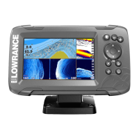
Lowrance HOOK2-4x User Manual

Lowrance HOOK2-4x
27 pages
To Next Page IconTo Next Page
To Previous Page IconTo Previous Page
Page #13 background imageLoading...
Page #13 background image
Waypoints, Routes, and Trails
Waypoints - specifies whether waypoints are (ON) or are not
(OFF) displayed on the GPS image.
Routes - specifies whether routes are (ON) or are not (OFF)
displayed on the GPS image.
Trails - specifies whether trails are (ON) or are not (OFF) displayed
on the GPS image.
Waypoints, routes, trails... - opens the waypoints, routes, and trails
dialogs. Use these dialogs to manage waypoints, routes, and
trails. Refer to "Waypoints, Routes, and dialogs" on page 18.
GPS plotter | Hook² X Series Operator Manual
Other manuals for Lowrance HOOK2-4x

Questions and Answers:

Question and Answer IconNeed help?

Do you have a question about the Lowrance HOOK2-4x and is the answer not in the manual?

Lowrance HOOK2-4x Specifications

General IconGeneral
Display Size4.3 inches
Display Resolution480 x 272 pixels
Display TypeColor TFT
Sonar Frequency200 kHz
Power Output200W RMS
GPSNo
Waterproof RatingIPX7
Sonar TypeBroadband
TransducerBullet Skimmer
Mounting TypeBracket
Maximum Depth500 ft (152 m)

Related product manuals