Do you have a question about the Lowrance iFINDER Explorer and is the answer not in the manual?
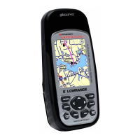
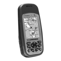
Detailed technical specifications and features of the iFINDER Explorer, including display, input, and receiver details.
Explains the fundamental principles of GPS operation and the iFINDER's internal workings, including satellite signal processing.
Overview of Global Positioning System technology, including how WAAS and EGNOS enhance GPS accuracy.
Information on powering the iFINDER using AA batteries or an optional external DC power adapter.
Guidance on battery types, recommendations, and proper installation procedures.
Instructions for inserting and removing MultiMedia Cards (MMC) or Secure Digital (SD) cards for data storage.
Details on available electronic chart options like FreedomMaps, NauticPath, and Navionics charts.
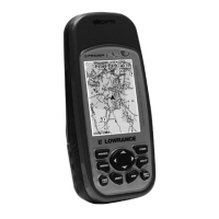
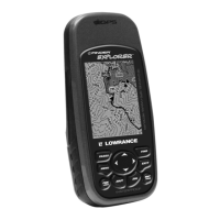
Explanation of the iFINDER's keypad layout and the function of each button in Easy Mode.
Overview of the Easy Mode Main Menu commands and their basic functions for device operation.
Description of the Navigation Page, showing direction of travel, course line, and waypoint bearing.
Details on viewing maps, navigating the map display, zooming, and understanding map data layers.
A concise, step-by-step guide for quick and efficient operation in Easy Mode.
Explanation of the iFINDER's keypad layout and the function of each button in Advanced Mode.
Details the five page displays available in Advanced Mode: Satellite, Digital Data, Navigation, Compass, and Map.
Instructions for navigating to waypoints, routes, and trails, including route planning and cancellation.
Information on creating, saving, editing, and navigating routes using waypoints.
Configuration of arrival, off-course, and anchor alarms with adjustable distance settings.
How to enable or disable satellite augmentation services for improved GPS accuracy and performance.
Selecting display formats for position coordinates, such as degrees, minutes, seconds, or UTM projection.
Adjusting display settings for optimal visibility and readability of the screen content.
Quick access to information for an item selected on the map using cursor crosshairs, showing details like name and location.
Procedures for searching for specific street addresses, cities, and zip codes for navigation.
Searching for Points of Interest like restaurants, hotels, landmarks, and other searchable map features.
List of geodetic datums supported by the unit for map positioning and coordinate system referencing.
| GPS Receiver | 12 Channel |
|---|---|
| Waterproof Rating | IPX7 |
| Waypoints | 1000 |
| Routes | 100 |
| Battery Type | 2 AA batteries |
| Expandable Memory | SD card slot |
| NMEA Output | Yes |
| Track Log | 10000 points |