48 NX501E/NZ501E
English
Owner’s Manual
Button Description
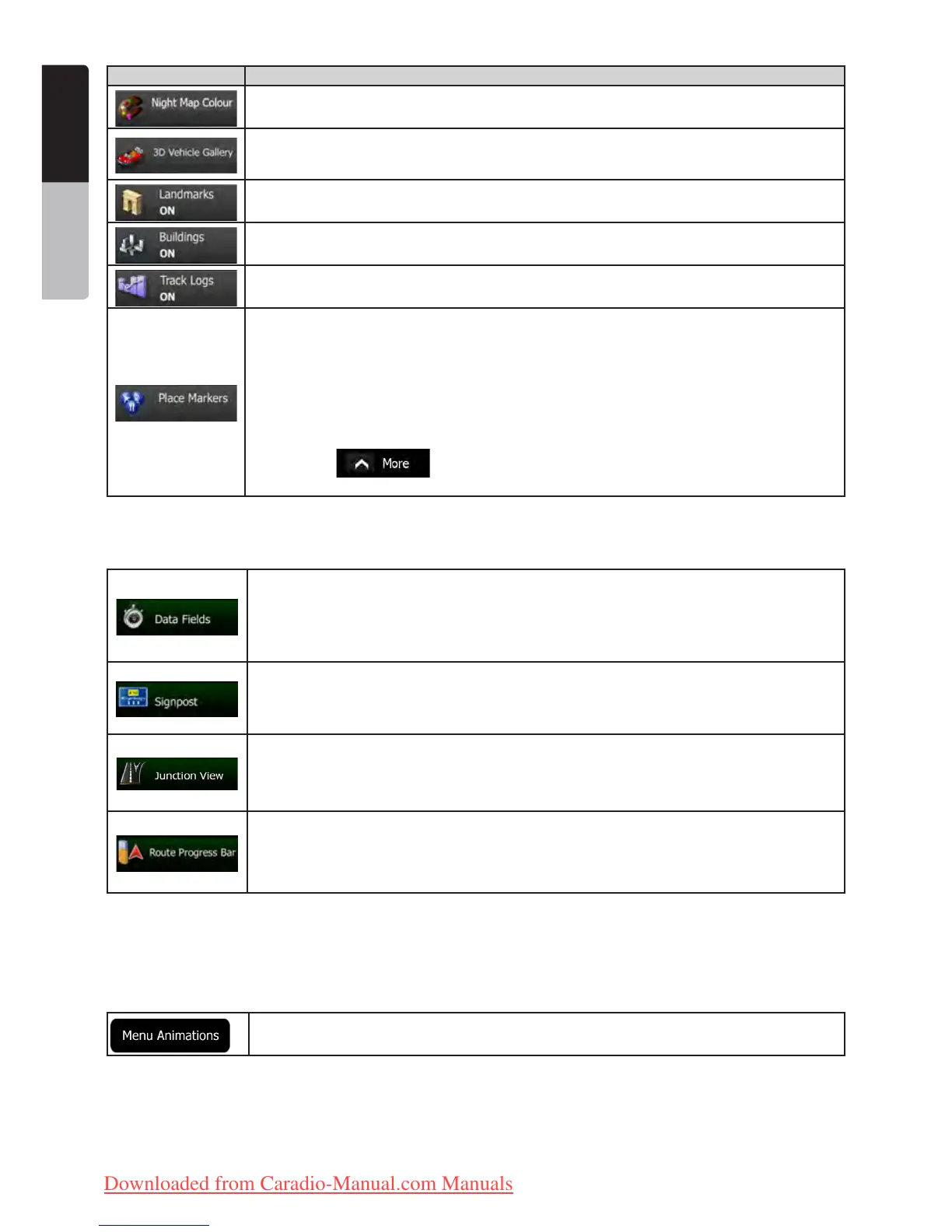
Select the colour scheme used in night mode.
Replace the default position marker to one of the 3D vehicle models. You can select separate
icons for different vehicle types selected for route planning. Separate icons can be used for
car, pedestrian and the other vehicles.
Show or suppress 3D landmarks, 3D artistic or block representations of prominent or well-
known objects.
Show or suppress 3D city models, 3D artistic or block representation of full city building data
containing actual building size and position on the map.
Turn on or off track log saving, that is, saving the sequence of the locations your journeys
go through.
Select which Places to show on the map while navigating. Too many Places make the map
crowded so it is a good idea too keep as few of them on the map as possible. For this, you
have the possibility to save different Place visibility sets. You have the following possibilities:
• Tap the checkbox to show or hide the Place category.
• Tap the name of the Place category to open the list of its subcategories.
• Tap to save the current Place visibility set or to load a previously
saved one. Here you can also revert to the default visibility settings.
4.3.7 Visual guidance settings
Settings related to guidance on the map screen can be adjusted here.
The data fields in the corner of the Map screen can be customised. Tap this button and select
the values you want to see. The values can be different when you navigate a route from
when you are just cruising without a given destination. You can select general trip data like
your current speed or the altitude, or route data related to your final destination or the next
waypoint on your route.
Whenever adequate information is available, lane information similar to the real ones on road
signs above the road is displayed at the top of the map. You can turn this feature on or off.
If you are approaching a motorway exit or a complex intersection and the needed
information exists, the map is replaced with a 3D view of the junction. You can turn this
feature on or let the map be displayed for the whole route.
Turn on the route progress bar to see your route as a straight line on the left side of the map.
The red arrow represents your current position and moves up as you travel. Waypoints and
Traffic events are also displayed on the line.
4.3.8 Display settings
Display related settings include menu animations, separate skins for daytime and night use and the brightness of
the display.
When animation is turned on, buttons on menus and keyboard screens appear in an
animated way. Screen transitions are also animated.
4.3.9 Regional settings
These settings allow you to customise the application for your local language, measurement units, time and date
settings and formats, as well as to choose the time zone.
Clarion_primo_1_1_EU_UserManual_EN-UK.indd 48 2011-2-23 11:24:21
Downloaded from Caradio-Manual.com Manuals

 Loading...