24
©
2022 DJI All Rights Reserved.
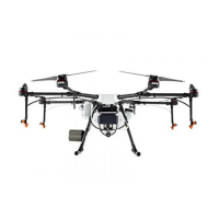
AGRAS T30
Unmanned Aircraft Flight Manual
10. Map Mode
: tap to switch between Standard, Satellite, or Night modes.
11. Location Follow
Tap to choose if the map display follows the aircraft location.
: to keep the aircraft centered in the map.
: to keep the map display xed regardless of the aircraft location.
12. Location
: tap to center the map around the location of the aircraft or the latest recorded home point.
13. Clear Screen
: tap to clear the ight route currently shown on the map.
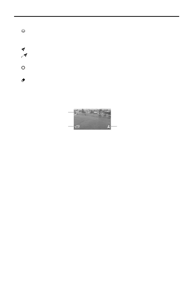
14. FPV Camera View
Displays the live view from the FPV camera. Tap to switch between the Map View and Camera
View. The front FPV camera view is displayed by default. Users can change the display using the
icons below.
Switch between front and rear FPV
Dual FPV display Front/rear FPV
15. Operation Control Buttons
Used to control the aircraft during different operation types, including measuring an task area and
invoking, starting, pausing, or ending an operation.
16. Radar Indicator
Displays information such as the orientation of the aircraft and the Home Point. Shows information
on the detected obstacles when the horizontal obstacle avoidance function is enabled. Red, yellow,
and green zones indicate the relative distance of the obstacles ranging from near to far. The value
indicates the distance in meters or feet depending on the settings.
17. Upward Obstacle Indicator
If upward obstacle avoidance is enabled, a red zone will appear on the top of the screen when an
obstacle is detected including the distance from the obstacle.
18. Flight Telemetry and Operation Status
Height: when the altitude stabilization function of the radar module is enabled, it shows the height
between the aircraft and the nearest object or ground underneath the aircraft. Tap the value to
adjust. If the altitude stabilization function is disabled, it displays the altitude between the aircraft
and the takeoff point.
Flow: displays the liquid ow rate.
Distance: displays the horizontal distance from the aircraft to the Home Point.
Speed: displays the ight speed of the aircraft.
Area: displays the area values related to the task area including the following values.
a. Field Area: displays the value of the total planning area when planning elds for Route operations.
b. Task Area: displays the value of the actual area of the planned task route after planning the eld.
The area is planned using the following formula: Task Area = Field Area - Obstacle Area - Safety
Margin Zone Area

 Loading...