©
2022 DJI All Rights Reserved.
29
Normal Procedures
Airspace Environment
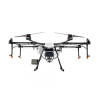
The DJI Agras T30 is a multi-copter crop protection RPAS mainly operated in farming, forestry, animal
husbandry and shery scenarios. Once pre-ight preparation is complete, it is recommended to hone
your ight skills and practice ying safely. Make sure that all ights are carried out in an open area.
Operation Environment
1. DO NOT use the aircraft to spray in winds exceeding 5 m/s.
2. DO NOT use the aircraft in adverse weather conditions such as winds exceeding 6 m/s, rain, snow,
or fog.
3. Only y in open areas. Tall buildings and steel structures may affect the accuracy of the compass
and the GNSS signal.
4. Pay attention to utility poles, power lines, and other obstacles. DO NOT fly near or above water,
people, or animals.
5. Maintain VLOS of the aircraft at all times, and avoid flying near obstacles, crowds, animals, and
bodies of water.
6. Avoid ying in areas with high levels of electromagnetism, including mobile phone base stations and
radio transmission towers.
7. DO NOT y more than 3000 m above sea level.
8. The DJI Agras app will intelligently recommend the payload weight limit for the tank according to the
current status and surroundings of the aircraft. Do not exceed the recommended payload weight
limit when adding material to the tank. Otherwise, the ight safety may be affected.
9. Make sure that there is a strong GNSS signal and the D-RTK antennas are unobstructed during
operation.
10. DO NOT operate the aircraft indoors.
Flight Limits and GEO Zones
Unmanned aerial vehicle (UAV) operators should abide by the regulations from self-regulatory
organizations such as the International Civil Aviation Organization, the Federal Aviation Administration,
and their local aviation authorities. For safety reasons, ight limits are enabled by default to help users
operate this aircraft safely and legally. Users can set ight limits on height and distance.
When operating with a strong GNSS signal, the height and distance limits and GEO zones work
together to monitor ight. With a weak GNSS signal, only the rmware height limit prevents the aircraft
from going above 100 meters.
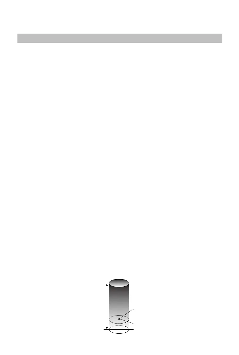
Maximum Height and Radius Limits
Users can change the maximum height and radius limits in the app. Once completed, the aircraft ight
is restricted to a cylindrical area that is determined by these settings. The tables below show the details
of these limits.
Max Flight Altitude
Max Radius
Home Point
Altitude of aircraft when powered on or the
distance of the aircraft to the surface

 Loading...