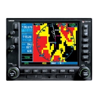
GNS 530(A) Pilot’s Guide and Reference
190-00181-00 Rev. G
13-11
SECTION 13
TAWS
13.4 DATABASE INFORMATION FOR TAWS
General Database Information
>ÀÊ/7-ÊÕÃiÃÊÌiÀÀ>Ê>`ÊLÃÌ>ViÊvÀ>ÌÊ
supplied by government sources. The data undergoes
verification by Garmin to confirm accuracy of the content,
«iÀÊ/-"£x£L°ÊÊHowever, the displayed information
should never be understood as being all-inclusive.
Pilots must familiarize themselves with the
appropriate sectional charts for safe flight.
NOTE: The data contained in the terrain and
obstacle databases comes from government
agencies. Garmin accurately processes and
cross-validates the data, but cannot guarantee
the accuracy and completeness of the data.
The terrain/obstacle databases are contained on a
datacard which is inserted in the right-most slot of the
-ÊxÎäÊÕÌÃÊ««i`ÝÊ®°
NOTE: Obstacles 200’ and higher are included
in the Obstacle Database. It is very important
to note that not all obstacles are necessarily
charted and therefore may not be contained in
the Obstacle Database.
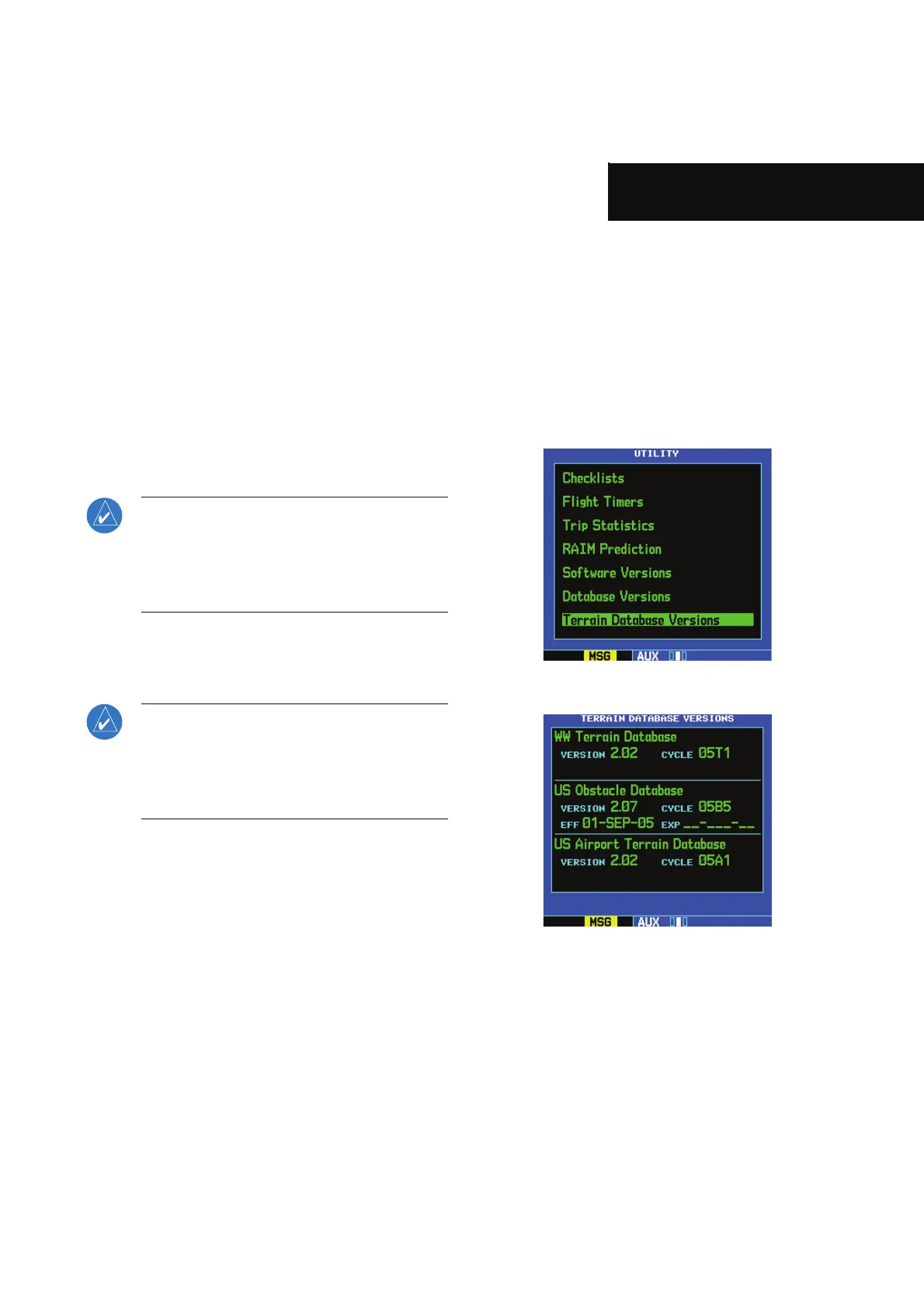
Database Versions
The version and area of coverage of each terrain/obstacle
`>Ì>L>ÃiÊÃÊÃÜÊÊÌiÊ/iÀÀ>Ê>Ì>L>ÃiÊ6iÀÃÃÊ*>}i]Ê
V>Ìi`ÊÊÌiÊ18Ê*>}iÊÀÕ«Ê}ÕÀiÃʣΣÓÊ>`ʣΣÎ]Ê
>ÃÊ-iVÌÊ£ä°Î®°ÊÊ>Ì>L>ÃiÃÊ>ÀiÊViVi`ÊvÀÊÌi}ÀÌÞÊ
at power-up. If a database is found to be missing and/or
`iwViÌ]ÊÌiÊ/7-ÊÃÞÃÌiÊv>ÃÊÌiÊÃivÌiÃÌÊ>`Ê`ë>ÞÃÊ
ÌiÊ/7-ÊÃÞÃÌiÊv>ÕÀiÊiÃÃ>}iÊÃiiÊ/>LiÊ£Îή°
 Loading...